What is recorded here
No surface remains visible. The 1838 edition of the OS 6-inch map appears to depict either a sunken area enclosed by a fosse or a mound enclosed by a fosse. It is not clear if this is an archaeological feature or a natural feature such as a small pond or quarry. No feature is depicted at this location on the revised 1908 edition of the OS 6-inch map. Recorded in 1977 as, 'Completely levelled. The site is marked as a low gentle rise in well drained pasture land. This was probably a ringfort. There are moderate views to north & west & restricted views in other directions' (SMR File 1977).
The above description is derived from the published 'Archaeological Inventory of County Offaly' (Dublin: Stationery Office, 1997). In certain instances the entries have been revised and updated in the light of recent research.
Compiled by Caimin O'Brien
Date of upload/revision: 19 December 2011
The monument record does not grant public access. Check the route and ask the landowner before entering private land.
- What survives
- Recorded monument
Places near here
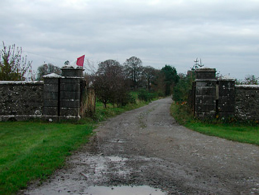 Correagh Cottagegates/railings/walls · 983 yd
 OutlinedCastle, ringwork · 1110 yd
 Kilmalady HillMountain / peak · 1184 yd
 Partially hachuredFairy fort / earthen ringfort · 1269 yd
 Enclosure in BallykilcrossEnclosure · 1589 yd
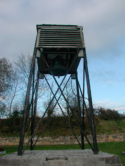 Catholic Church of Saint Peter and Saint Paulbell tower/stand · 1756 yd
 Bawn in CoolaloughBawn · 1.1 mi
 Chapel HillForest · 2.6 mi
 ToberaskeenSpring · 3.4 mi
 Roughan HillMountain / peak · 3.7 mi
 High WoodWood · 3.8 mi
 St. Columba's WellSpring · 4.2 mi