What is recorded here
In pasture. Cropmark of circular-shaped earthwork (diam. c. 20m E-W) visible on Google Earth orthoimages.
See attached Google Earth orthophotos
Compiled by: Caimin O'Brien based on details provided by Jean-Charles Caillère
Date of upload: 29 October 2021
The monument record does not grant public access. Check the route and ask the landowner before entering private land.
- What survives
- Recorded monument
Places near here
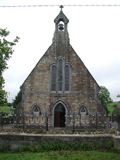 Saint Joseph's Catholic Churchchurch/chapel · 640 yd
 St. Conans WellHoly well · 1116 yd
 Church, Grave Yd.Church · 1.3 mi
 Enclosure in Mackney (bourke)Enclosure · 1.5 mi
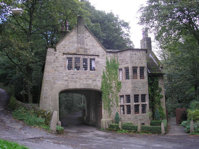 CastleCastle, tower house · 2.5 mi
 Doonan's HillMountain / peak · 2.5 mi
 The Pollagh TrailNature reserve · 2.6 mi
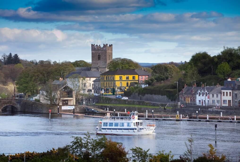 Cloghaneena (in ruins)Castle, hall-house · 3.3 mi
 My Next AdventureHeritage attraction · 3.6 mi
 Ballyhourigan WoodsForest · 3.7 mi
 Brian Boru Heritage CentreVisitor information · 3.7 mi
 Cast Iron BridgeHeritage attraction · 4.1 mi