What is recorded here
In level pastureland. Poorly preserved subcircular earthwork (14.5m N-S; 12m E-W) defined by a bank of earth and stone, now obscured by field-clearance rubble. A central depression (diam. 3.5m) is evident
within the interior. Possibly a barrow or a house site.
Compiled by: Galway Archaeological Survey, UCG
Date of upload: 17 July 2019
The monument record does not grant public access. Check the route and ask the landowner before entering private land.
- What survives
- Recorded monument
Places near here
 Ballymaquiff CastleCastle · 910 yd
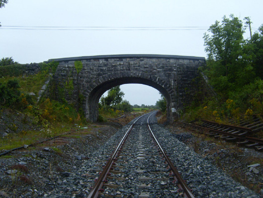 bridgebridge · 1028 yd
 CaveMan-made underground passage · 1209 yd
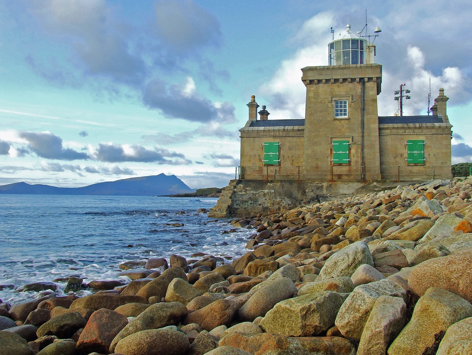 Man-made underground passage in Ballyglass West (dunkellin By.)Man-made underground passage · 1314 yd
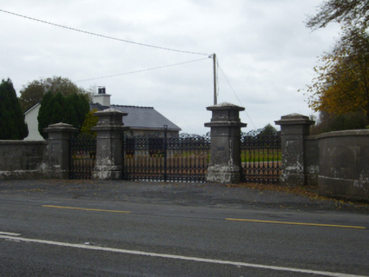 Tullira Castlegates/railings/walls · 1650 yd
 HawthornHawthorn · 1.0 mi
 European ashEuropean ash · 1.1 mi
 Drumharsna Castle (in ruins)Castle, tower house · 1.5 mi
 Drumharsna CastleHeritage attraction · 1.5 mi
 Drumacoo Monastic SiteHeritage attraction · 6.1 mi
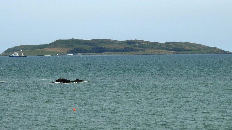 Lambs IslandIslet · 8.2 mi
 Goose IslandIslet · 9.8 mi