What is recorded here
In wet, level pasture with limited views in all directions. Depicted on the 1840 ed. OS 6-inch map as a small roughly circular-shaped earthwork, with barony boundary to W. Monument visited by the ASI in 2001 when it was described as no surface remains visible. Site of levelled monument is obscured by a linear tract of scrub running roughly N-S on Digital Globe aerial photographs taken 2011-2013 and Google Earth orthoimage taken 19/11/2019.
See attached Google Earth orthoimage.
Compiled by: Alison McQueen and Vera Rahilly
Date of upload: 8 July 2020
The monument record does not grant public access. Check the route and ask the landowner before entering private land.
- What survives
- Recorded monument
Places near here
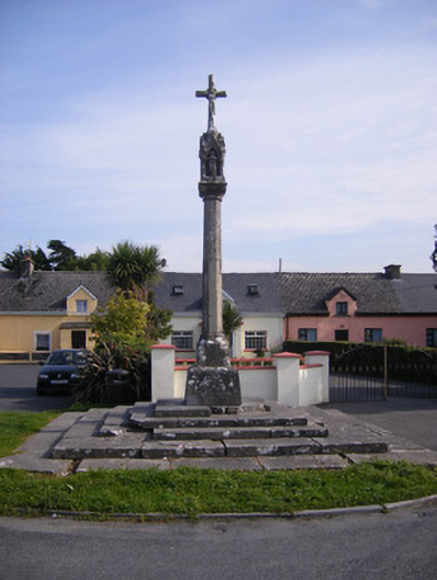 Monsell Monumentmonument · 369 yd
 Saint Joseph's Catholic Churchchurch/chapel · 628 yd
 St James's WellSpring · 1080 yd
 Enclosure in TervoeEnclosure · 1098 yd
 Grave YardGraveyard · 1173 yd
 Carrigogunnell CastleRuins · 1392 yd
 Meelick Ho.House, fortified house · 1.5 mi
 Sailors HaggardMemorial · 1.6 mi
 Coonagh NatureNature reserve · 1.6 mi
 Muckinish PointHeadland · 2.0 mi
 Grass IslandIslet · 4.1 mi
 Cratloe WoodsForest · 4.3 mi