What is recorded here
Situated in pasture just off the summit of a drumlin at SW. Hachured as a circular enclosure (diam. c. 30m) on the 1842 and 1920 eds. of the OS 6-inch map. A hollow (diam. at base 10m; diam. at top 20m; D 1.3-1.6m) is all that remains visible at ground level.
Compiled by: Michael Moore
Date of upload: 2 May 2017
The monument record does not grant public access. Check the route and ask the landowner before entering private land.
- What survives
- Recorded monument
Places near here
 Enclosure in Ballyline (bunratty Upper By.)Enclosure · 268 yd
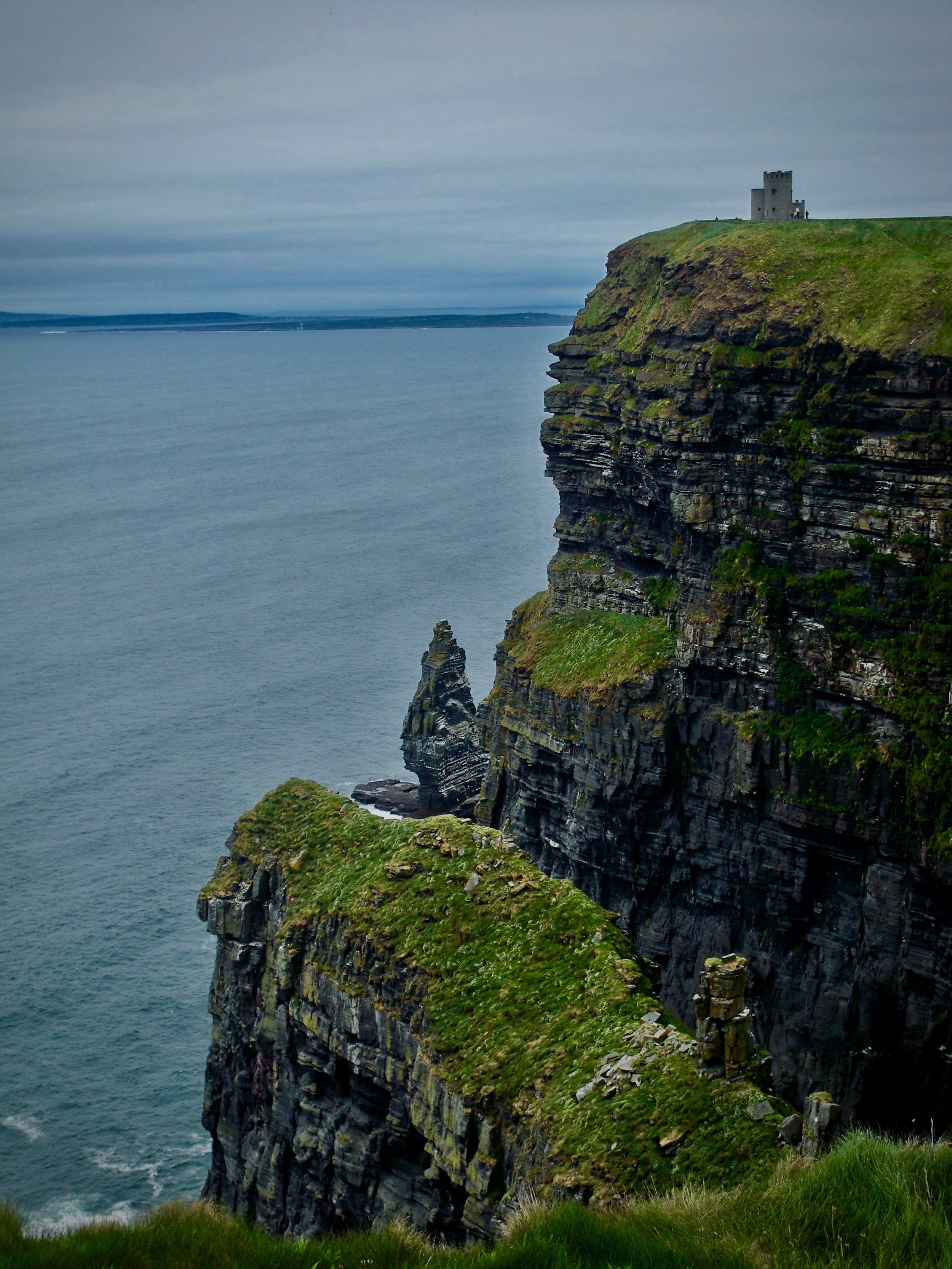 IndicatedEnclosure · 778 yd
 Abbey (in ruins)Religious house, Augustinian canons · 1349 yd
 Castle (in ruins)Castle, unclassified · 1412 yd
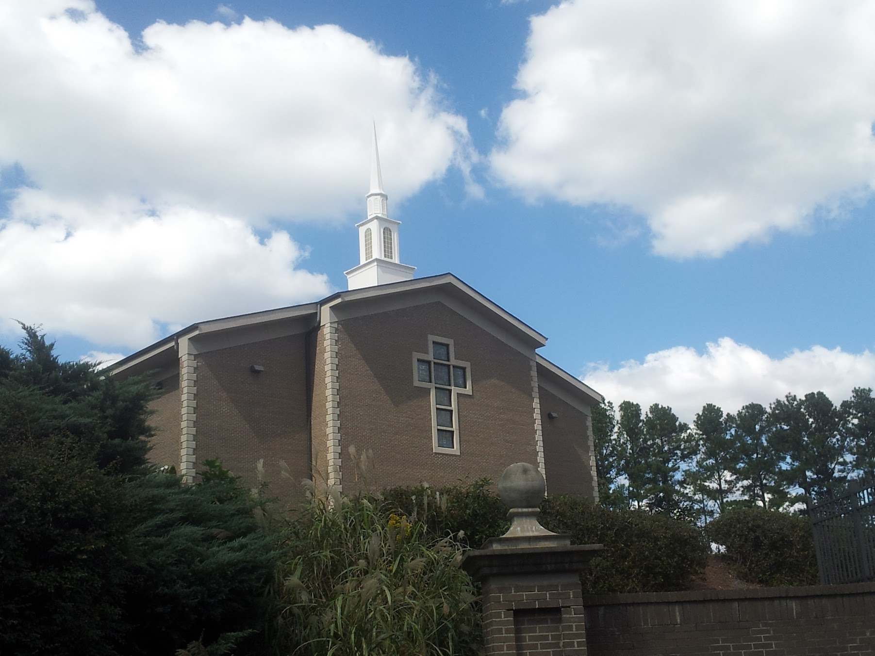 Church in KillianChurch · 1.2 mi
 Mulkere MemorialMemorial · 1.4 mi
 Dromore CastleCastle · 1.8 mi
 Dromore WoodWood · 1.9 mi
 Derrymore WoodWood · 2.7 mi
 Battle of TullyodeaBattlefield · 3.8 mi
 Burren National ParkVisitor information · 6.9 mi
 Rock IslandIsland · 7.0 mi