What is recorded here
In improved pasture, 130m E of the townland boundary with Curraghturk. Earthwork (LI049-242----) lies 90m to SE. Depicted on the 1840 ed. OSi 6-inch map as a roughly circular-shaped enclosure. Shown on the 1893 OS 25-inch map as a raised circular-shaped area (diam. c. 23m) defined by a scarp from NE-S-SW and post 1700 field boundary from NW-NE with outer fosse from NE-E-SE. Outline of overgrown monument visible on Digital Globe orthoimage taken between 2011-13 and on Google Earth orthoimages.
See attached Google Earth orthoimages.
Compiled by: Martin Fitzpatrick
Date of upload: 18 October 2021
The monument record does not grant public access. Check the route and ask the landowner before entering private land.
- What survives
- Recorded monument
Places near here
 Enclosure in Spittle (coshlea By., Ballylanders Ed)Enclosure · 659 yd
 bridgebridge · 1350 yd
 Rathadooneen, HachuredFairy fort / earthen ringfort · 1.1 mi
 Site of Castle, Castle FieldCastle, unclassified · 1.3 mi
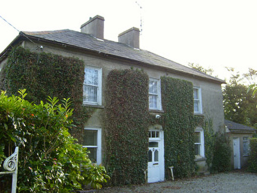 Glena Househouse · 1.3 mi
 Site of CastleCastle, unclassified · 1.9 mi
 Paradise HillMountain / peak · 2.1 mi
 Duntryleague HillMountain / peak · 2.6 mi
 Darby's Bed Walk LoopWalking route · 2.6 mi
 Assaroula WaterfallWaterfall · 2.9 mi
 Combaun WoodsViewpoint · 3.4 mi
 Saint Patrick's WellSpring · 4.2 mi