What is recorded here
Annotated as ‘Moteen’ beside Ordnance Datum point for 266ft on the 1837 OS Fair Plan map. No surface remains visible of an antiquity at this location. At the time of visit in 1979 there were signs of recent bulldozing in the field and a roadway was being constructed along the N side of the field fence running E-W. This area has been partially quarried out as visible on Digital Globe aerial photograph taken November 2011.
Compiled by: Frank Coyne and Caimin O'Brien
Date of upload: 25 May 2017
The monument record does not grant public access. Check the route and ask the landowner before entering private land.
- What survives
- Recorded monument
Places near here
 Ecclesiastical enclosure in MayneEcclesiastical enclosure · 1306 yd
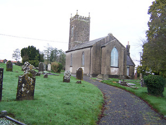 Saint Nicholas's Church (Mayne)church/chapel · 1311 yd
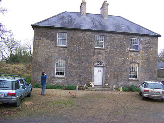 Simonstown Househouse · 1323 yd
 Windmill (in Ruins)Windmill · 1.2 mi
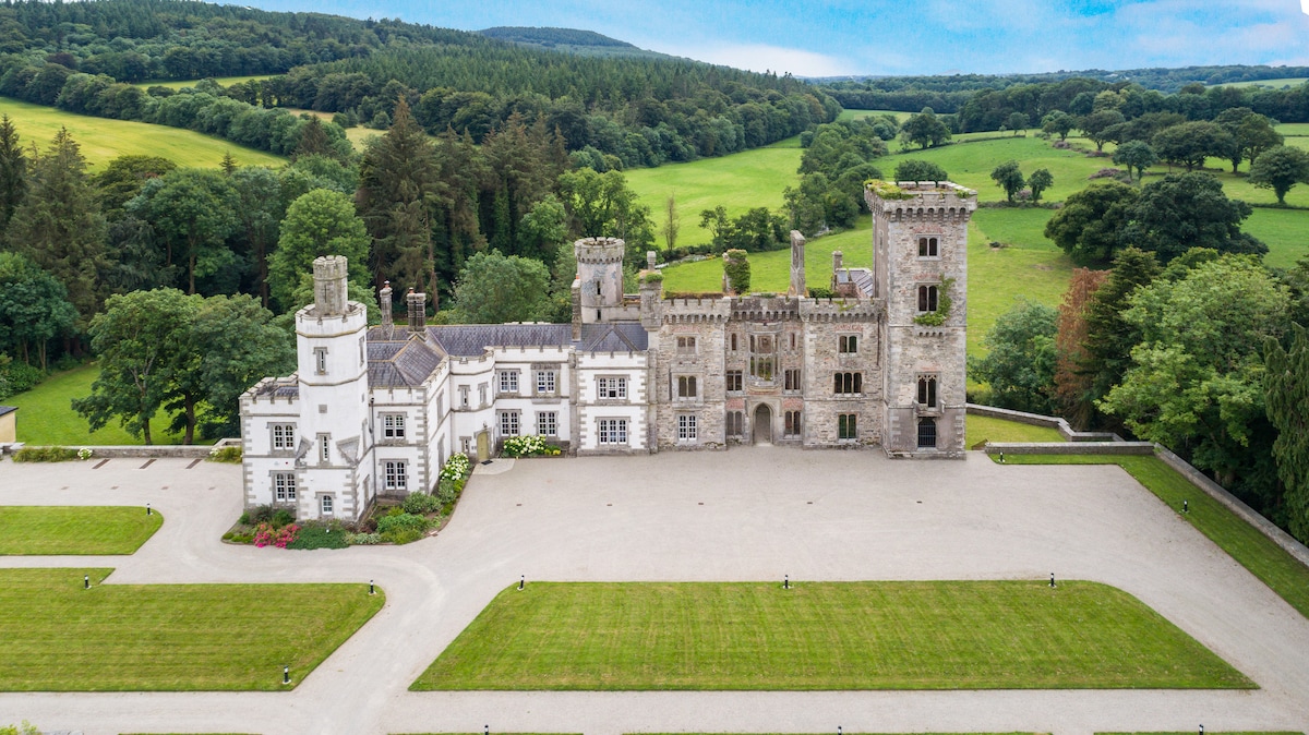 CastleCastle, tower house · 1.3 mi
 Turbotstown Ho.Castle, unclassified · 1.6 mi
 European BeechEuropean Beech · 2.4 mi
 Pedunculate OakPedunculate Oak · 2.6 mi
 Rock of CurryCliff · 4.0 mi
 Bridge Memorial (Kenna)Memorial · 4.1 mi
 Mullaghmeen ForestPicnic place · 6.3 mi
 Mullaghmeen White WalkWalking route · 6.4 mi