What is recorded here
In level wet pasture. Depicted on the 1840 ed. OSi 6-inch map as a circular-shaped area defined by a scarp. Shown on the 1897 ed. OSi 25-inch map as a circular-shaped area (diam. c. 15m) enclosed by a bank, fosse and external bank from SSE-S-SW. Described in 1999 as no surface remains visible. According to landowner the monument was levelled in his grandfather’s time and was known locally as a moat.
See attached Google Earth orthoimages
Compiled by: Fiona Rooney
Date of upload: 12 November 2021
The monument record does not grant public access. Check the route and ask the landowner before entering private land.
- What survives
- Recorded monument
Places near here
 BarrowBarrow, ring-barrow · 863 yd
 Ballymacshaneboy Castle (in ruins)Castle, unclassified · 992 yd
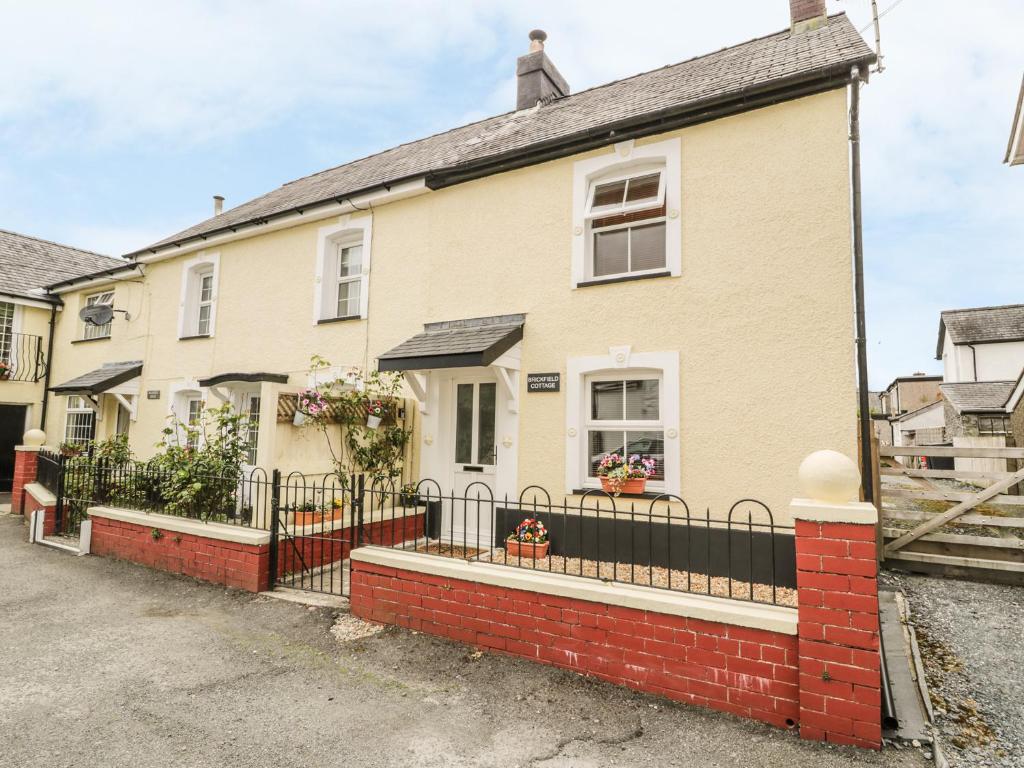 Enclosure in BrickfieldEnclosure · 1225 yd
 Castle (in ruins)Castle, unclassified · 1496 yd
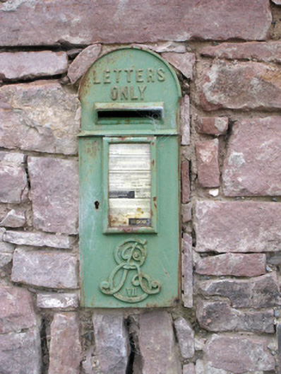 post boxpost box · 1674 yd
 Kilquane Church (in ruins)Church · 1.0 mi
 Caher HillMountain / peak · 1.3 mi
 ToberSpring · 1.6 mi
 Lady's WellSpring · 1.6 mi
 BallinaboolaVisitor information · 2.0 mi
 Carron MountainMountain / peak · 2.4 mi
 Holy Cross CemeteryGraveyard · 3.5 mi