
What is recorded here
Thirty-five centuries of Atlantic gales have not erased the sharp S to SW line of the earthwork, proving that human anger or fear can carve geometry deeper than water. Doonanore Castle still stands beside it, but the castle has rooms for memory while the bank has only a hole wide enough for one body to push through. The cliff-top field wall and the outcropping rock at the south end have become the true markers, because they show where the living boundary began and stopped. A person who walked that slope in the dark would have felt the edge of the world before seeing the castle, and the bank still refuses to explain itself except through the pressure it puts on the leg.
In pasture, on a steep N-facing slope to the E of the tower house known as Doonanore Castle (CO153-015002-) in the NW part of Clear Island. An earthen bank (L c. 55m; Wth 2.2m; int. H at W side 1.3m; ext. H 0.35m) extends upslope in a S to SW direction from a modern E-W field boundary wall on the cliff-top at N and ends at a large outcropping rock on the edge of another cliff. This bank appears to have formed part of the defences on the land approach to the castle from the E. The bank has three contiguous linear stretches (L 12m, 34m and 9m) to bring it from N to SW. There is an entrance (Wth 3m) near the N end. A separate and later N-S linear bank (L c. 80m; Wth 1.5m; H 0.5m), which also extends from the cliff-top at N, cuts diagonally across the 34m long middle (NE-SW) section. There is a possible hut site (CO153-015004-) near the centre of the enclosed area, c. 20m to the W of the bank. The short promontory on which Doonanore Castle stands is a possible coastal promontory fort (CO153-015001-).
The above description is derived from 'The Archaeological Inventory of County Cork. Volume 5' (Dublin: Stationery Office, 2009).
Date of upload: 22 December 2009
The monument record does not grant public access. Check the route and ask the landowner before entering private land.
- What survives
- Recorded monument
Places near here
 O'Driscoll CastleCastle · 95 yd
 Doonanore Castle (in Ruins)Castle, tower house · 106 yd
 Promontory fortPromontory fort, coastal · 231 yd
 Field boundary in Baile Iarthach Thuaidh (cléire)Field boundary · 359 yd
 Templekieran (in Ruins)Church · 550 yd
 Wild Atlantic Way: CléireVisitor information · 566 yd
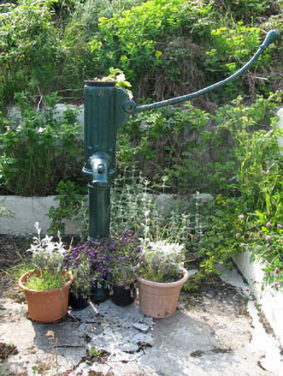 water pumpwater pump · 575 yd
 Trá CiaráinBeach / strand · 594 yd
 Oifig Fáilte Siopa CeirdVisitor information · 610 yd
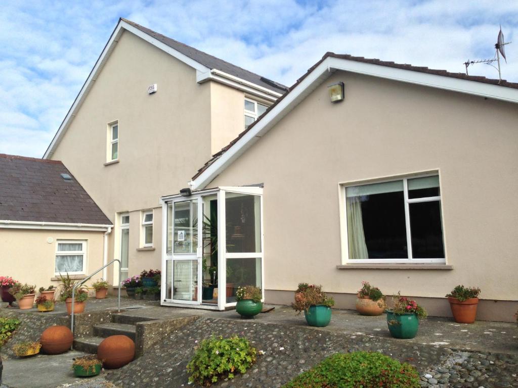 An Gleann LoopWalking route · 1237 yd
 CléireIsland · 1384 yd
 Cape Clear MuseumMuseum · 1.1 mi
Other information
Photo: Credit not shown in the picture search · Rights wording not checked; contact us if this picture should be removed