What is recorded here
In grassland, ringfort (LI045-031----) 200m to S. Partially indicated on 1840 ed. OSi 6-inch map as a curvilinear field boundary. Cropmark of circular-shaped earthwork (diam. c. 60m) visible on Google Earth photograph taken 29/03/2012 and OSi orthophotos taken between 2005-12.
See attached Google Earth orthoimages
Compiled by: Caimin O'Brien based on details provided by Jean-Charles Caillère
Date of upload: 10 January 2022
The monument record does not grant public access. Check the route and ask the landowner before entering private land.
- What survives
- Recorded monument
Places near here
 Mound in AppletownMound · 520 yd
 Church in AppletownChurch · 945 yd
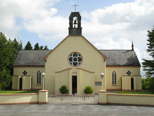 Saint Mary's Catholic Churchchurch/chapel · 1077 yd
 Enclosure in FeohanaghEnclosure · 1572 yd
 ToberhoranSpring · 2.1 mi
 Castle (in ruins), Springfield CastleCastle, tower house · 2.2 mi
 Mayne Ho.Castle, unclassified · 2.5 mi
 Garbally WellSpring · 3.0 mi
 National Co-op MuseumMuseum · 4.2 mi
 Ballagh MountainMountain / peak · 4.3 mi
 Mullaghareirk - Banane LoopWalking route · 5.5 mi
 Rock HillMountain / peak · 7.2 mi