What is recorded here
Thirty metres of diameter in grassland, Appletown, a circle of earth that has outlasted every wall built to forget it. Half a kilometre south, a ringfort still stands; half a kilometre north, the circle has vanished into soil and memory. The land has swallowed more than one life, one language, one law. What remains is shape, and shape does not lie.
In grassland, ringfort (LI045-031----) 200m to S. Partially indicated on 1840 ed. OSi 6-inch map as a curvilinear field boundary. Cropmark of circular-shaped earthwork (diam. c. 60m) visible on Google Earth photograph taken 29/03/2012 and OSi orthophotos taken between 2005-12.
See attached Google Earth orthoimages
Compiled by: Caimin O'Brien based on details provided by Jean-Charles Caillère
Date of upload: 10 January 2022
The monument record does not grant public access. Check the route and ask the landowner before entering private land.
- What survives
- Recorded monument
Places near here
 Mound in AppletownMound · 520 yd
 Church in AppletownChurch · 945 yd
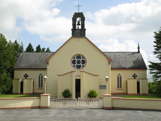 Saint Mary's Catholic Churchchurch/chapel · 1077 yd
 Enclosure in FeohanaghEnclosure · 1572 yd
 ToberhoranSpring · 2.1 mi
 Castle (in ruins), Springfield CastleCastle, tower house · 2.2 mi
 Mayne Ho.Castle, unclassified · 2.5 mi
 Garbally WellSpring · 3.0 mi
 National Co-op MuseumMuseum · 4.2 mi
 Ballagh MountainMountain / peak · 4.3 mi
 Mullaghareirk - Banane LoopWalking route · 5.5 mi
 Rock HillMountain / peak · 7.2 mi