What is recorded here
A section of the Td. boundary betweenn Annefield Td. and Davos Td. is marked 'moat' on a 1771 estate map; it is not shown on the 1838 and 1915 OS 6-inch maps.
The nature of this monument is uncertain. There is no visible surface trace of archaeological remains at ground level. An earthen field fence (W c. 0.8m; H 0.5m) topped with a hawthorn hedge/overgrowth occurs at this location and serves as the townland boundary. In parts the earthen fence is replaced by a stone wall. There is no local tradition of a "moat".
Compiled by: Jane O’Shaughnessy
Date of upload: 23 June 2023
The monument record does not grant public access. Check the route and ask the landowner before entering private land.
- What survives
- Recorded monument
Places near here
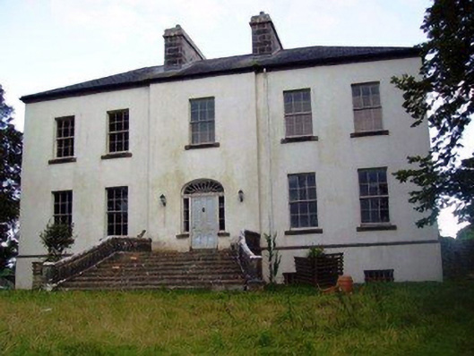 Annefield Housecountry house · 635 yd
 IndicatedEnclosure · 693 yd
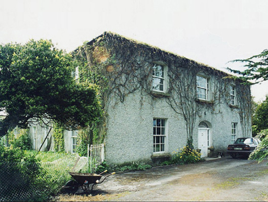 Greaghansfarm house · 967 yd
 Enclosure in DavrosEnclosure · 1578 yd
 Castle in ruinsCastle, unclassified · 1652 yd
 Castle (in ruins)Castle, unclassified · 1.9 mi
 European YewEuropean Yew · 3.0 mi
 SycamoreSycamore · 4.7 mi
 Mass RockNamed rock · 8.1 mi
 Ross Errilly FriaryHeritage attraction · 9.9 mi
 School of FalconryHeritage attraction · 11 mi
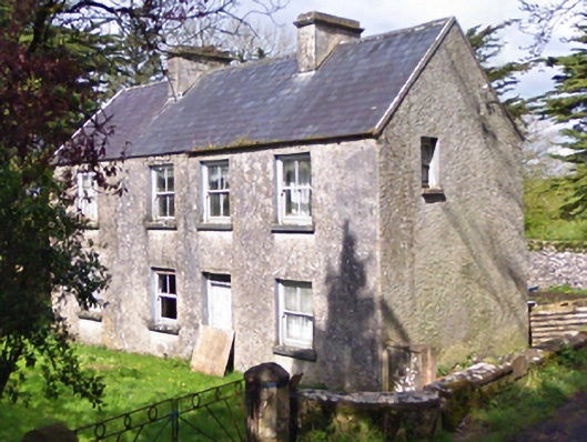 farm housefarm house · 1577 yd