What is recorded here
Dysart Station is a railway station in Fife, Scotland.
Places near here
Photo credits
- Mat Fascione, Wikimedia Commons · CC BY-SA 2.0
- Douglas Nelson, Wikimedia Commons · CC BY-SA 2.0
- Maker not stated on source page, britishlistedbuildings.co.uk
- Colin Smith, Wikimedia Commons · CC BY-SA 2.0
- Bill Kasman, Wikimedia Commons · CC BY-SA 2.0
- Maker not stated on source page, en.wikipedia.org
- Maker not stated on source page, www.alamy.com
- NASA, Wikimedia Commons · Public domain
 War MemorialMemorial · 276 yd
 Dysart, West Port, Dysart Parish ChurchChurch (19th Century) · 306 yd
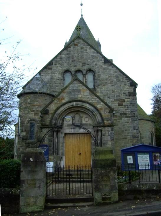 Dysart, West Port, Parish Church, War MemorialWar Memorial (20th Century) · 306 ydDysart, West Port, Dysart Parish Church, Dovecot in ChurchyardDovecot (17th Century) · 311 yd
 Dysart, High Street, the Cross Jubilee LampLamp · 398 yd
 John McDouall Stuart Memorial PlaqueMemorial · 481 yd
 Dysart, Panhall, Shore Road, St Serf's ChurchChurch (16th Century), Dovecot (post Medieval) · 542 yd
 St Serf's CemeteryCemetery · 554 ydDysart, Panhall, Shore Road, St Serf's Church, ChurchyardBurial Ground (16th Century), Churchyard (16th Century) · 555 yd
 Ravenscraig CastleArtillery Fortification (15th Century), Castle (medieval) · 1525 yd
 Pathhead SandsBeach / strand · 1.0 mi
 Firth of ForthBay · 1.1 mi
Explorer Tom The Firth of Forth spreads out from the river with three great bridges across its narrowest famous stretch and enough…
More historic places in Fife · All of Fife

What do you know about this place?Tap to add a comment or ask a question