What is recorded here
Dyffryn Dowlais is a farmstead in Rhondda Cynon Taf, Wales.
From the Coflein (National Monuments Record of Wales) record 18589
Places near here
Photo credits
- Colin Pyle, Wikimedia Commons · CC BY-SA 2.0
- Roger Cornfoot, Wikimedia Commons · CC BY-SA 2.0
- John Lord, Wikimedia Commons · CC BY-SA 2.0
- Geographer, Wikimedia Commons · CC BY-SA 2.0
- Duncan and Gareth Alderson, Wikimedia Commons · CC BY-SA 2.0
- Chris Allen, Wikimedia Commons · CC BY-SA 2.0
- Anne Gibbs (photographer unstated), Anne Gibbs official artist site
- Steve Sheppard, Wikimedia Commons · CC BY-SA 2.0
 Church Village Methodist Chapel, Main Road, Church VillageChapel · 254 yd
 Gartholwg comprehensive school, Church VillageChurch, cross or graveyard · 297 yd
 The Hollybush, Church VillageChurch, cross or graveyard · 894 yd
 Llwyn Onn, Church VillageChurch, cross or graveyard · 932 yd
 Taff Vale railway bridgeHeritage place · 999 yd
 The Farmer's Arms, Upper Church VillageChurch, cross or graveyard · 1002 yd
 Stone on tower of St Illtud's Church, Upper Church VillageCastle, fort or tower · 1045 yd
 Roadworks Crown HillMountain or hill · 1535 yd
 Cwm Coking Works;Cwm Coke Works, Llantwit FardreCoking Works · 1.1 mi
 Southern Cooling Tower, Cwm Coking Works;Cwm Coke Works, Llantwit FardreCooling Tower · 1.2 mi
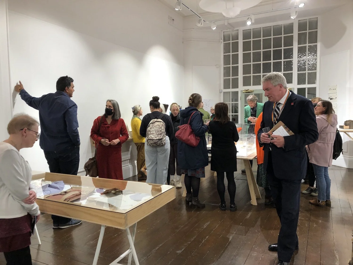 University of South Wales Art Collection MuseumMuseum · 1.8 mi
Explorer Tom The University of South Wales Art Collection has a public home at Oriel y Bont in Tŷ Crawshay, where paintings and…
 The GarthMountain / peak · 1.8 mi
More historic places in Rhondda Cynon Taf · All of Rhondda Cynon Taf

What do you know about this place?Tap to add a comment or ask a question