
What is recorded here
Situated just SE of the summit of a NW-SE ridge that is at the SE edge of a broad plateau, it is described as ‘Dunroe’ - the red fort on the OS 6-inch maps. This is a circular grass and rush-covered area (diam. 29m NNW-SSE; 28.5m E-W) that slopes down to the S (H 1.5m). It is defined by an earthen bank (Wth of base…
Read the whole record
From the National Monuments Service (Archaeological Survey of Ireland) record ME002-057
Places near here
Photo credits
- Maker not stated on source page, www.irishamericanmom.com
- Maker not stated on source page, www.gaia.com
- Maker not stated on source page, tr.pinterest.com
- Maker not stated on source page, www.discoverboynevalley.ie
- Maker not stated on source page, pixabay.com
- Maker not stated on source page, www.nationalgeographic.com
- Maker not stated on source page, www.flickr.com
- Kmcnamee, Wikimedia Commons · CC BY-SA 4.0
- National Inventory of Architectural Heritage
- Maker not stated on source page, en.wikipedia.org
 Fairy fort / earthen ringfort in CarrickleckFairy fort / earthen ringfort · 481 yd
Explorer Tom Fairy fort / earthen ringfort in Carrickleck was built by someone who was really just thinking about lunch. The bank is…
 Fairy fort / earthen ringfort in CreggFairy fort / earthen ringfort · 676 yd
Explorer Tom This Cregg fort is telling off the stream next door for stealing its water rights. It’s got a causeway that’s basically…
Fairy fort / earthen ringfort in CollegeFairy fort / earthen ringfort · 1508 ydExplorer Tom Fairy fort / earthen ringfort in College sparked a massive argument between two parishes last century. Only half the…
 Flat cemetery in CreggFlat cemetery · 1.2 mi
Explorer Tom Flat cemetery in Cregg is located on a limestone knoll where testing found pits with burnt bone and charcoal, which…
 Spa WellSpring · 1.2 mi
Explorer Tom Spa Well would teach history by making you drink its water while it monologues about the 18th century, pausing only…
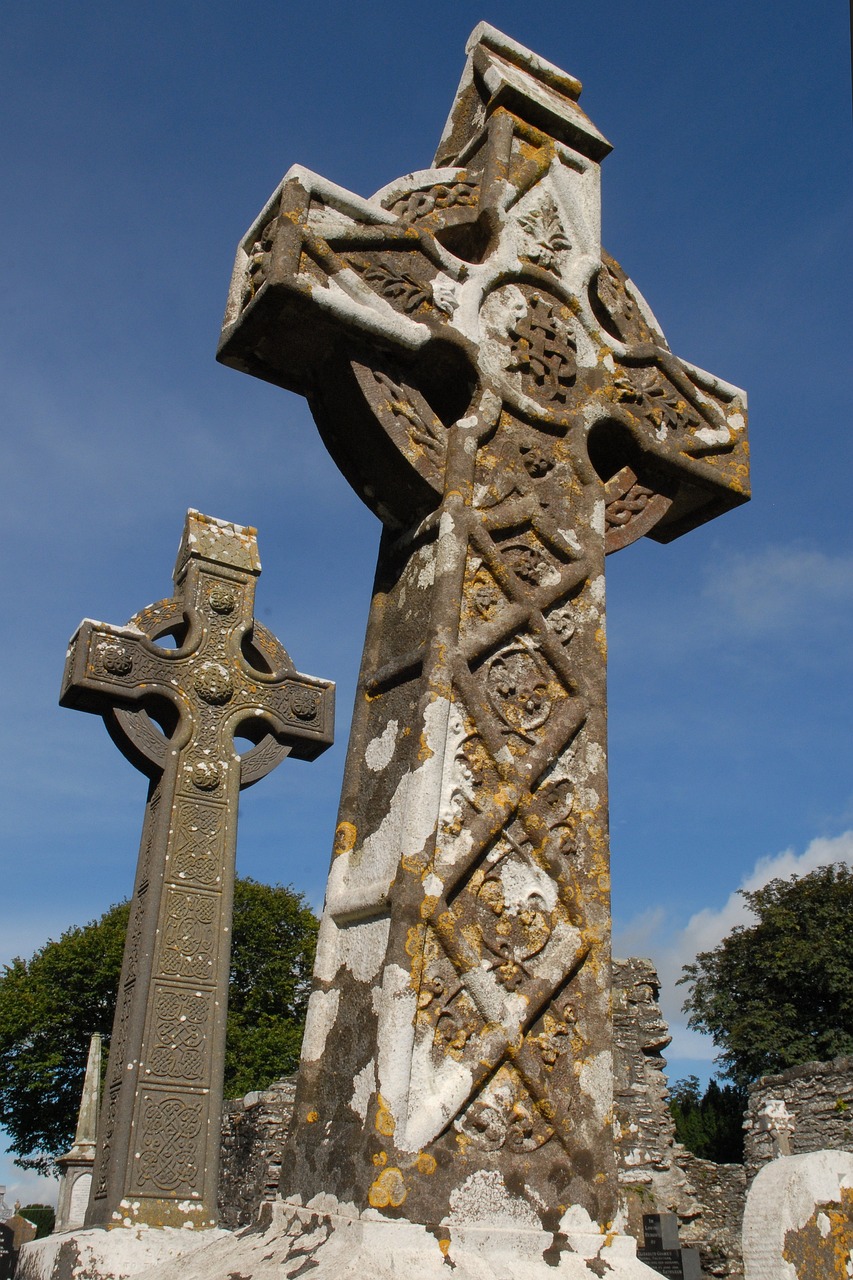 Stone CrossesCross · 1.6 mi
Explorer Tom Stone Crosses in Whitewood smell like old cabbage and regret, according to me. They mark graves from 1798 but look more…
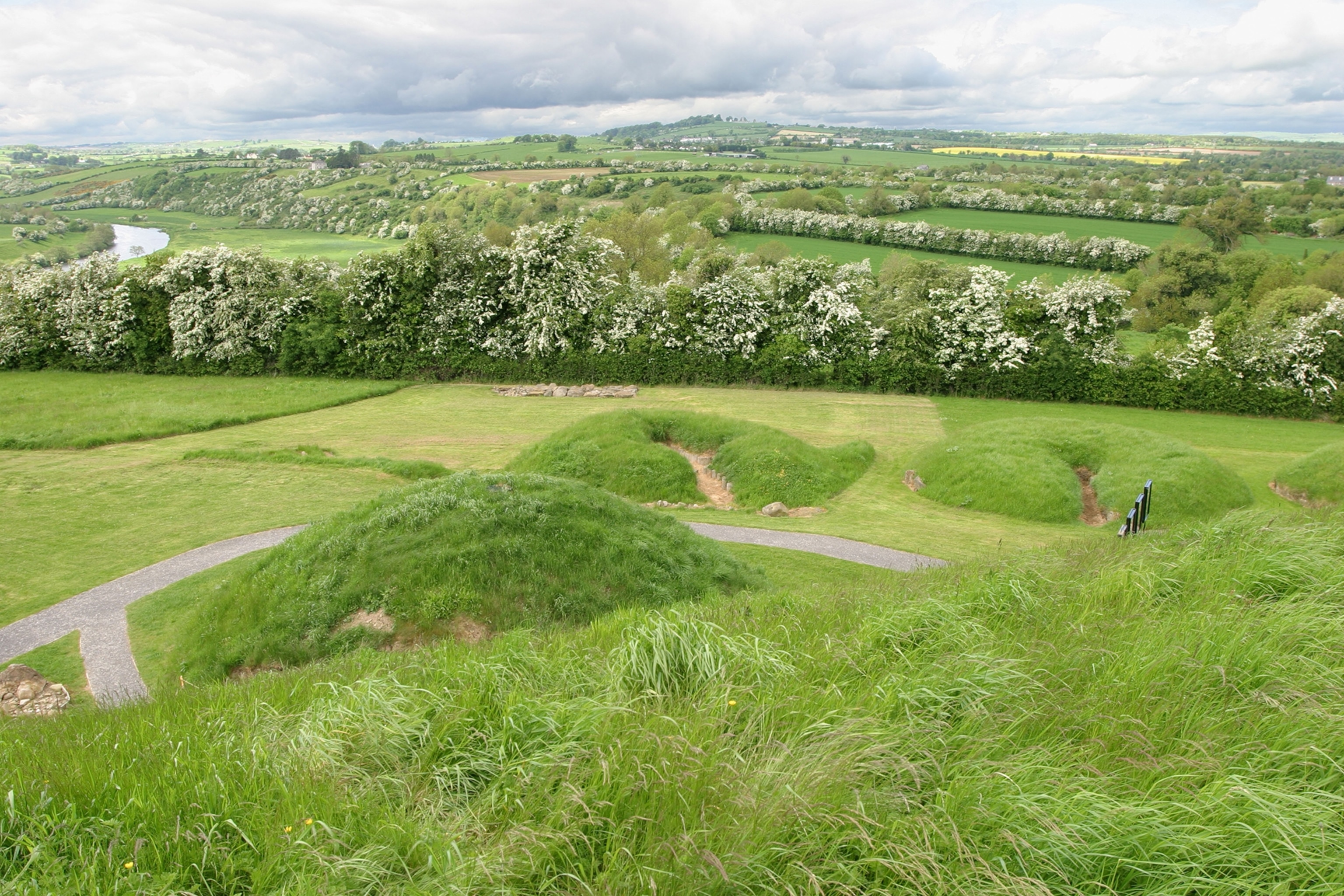 Fairy fort / earthen ringfort in Posseckstown (morgallion By.)Fairy fort / earthen ringfort · 1.7 mi
Explorer Tom Fairy fort / earthen ringfort in Posseckstown is basically a giant dirt circle that has been sitting on a rise looking…
 Fairy fort / earthen ringfort in RatheFairy fort / earthen ringfort · 1.9 mi
Explorer Tom Fairy fort / earthen ringfort in Rathe sits on top of a little hill like it’s running for local office. It’s got no…
 Meath Hill GAA pitchGAA ground · 2.2 mi
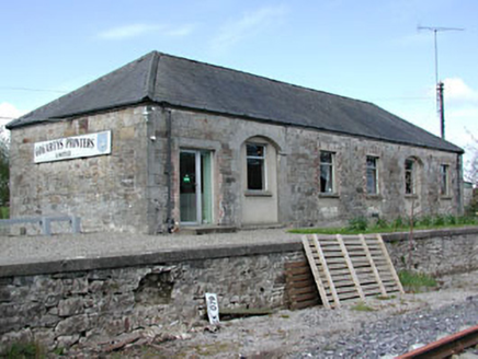 Kilmainham Wood Railway StationStore/warehouse · 2.2 mi
Explorer Tom Kilmainham Wood Railway Station is basically a goods shed that’s been waiting for a delivery since the 1870s and isn’t…
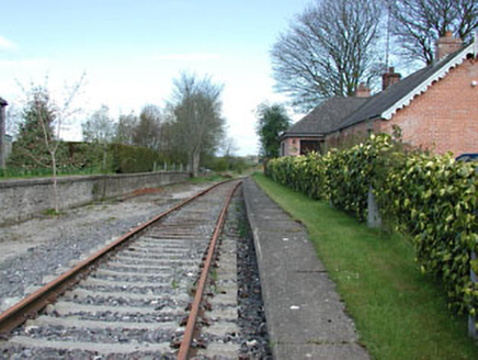 rails (section of)2.2 mi
Explorer Tom Rails in Boynagh are just lying there in fair condition, looking all smug because they’ve stopped moving for years now.…
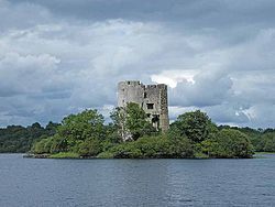 Muff CastleArchaeological place · 5.6 mi
Explorer Tom Muff Castle is named like a hairdryer but acts like a retired general who forgot to pack his medals. It’s planning its…
More archaeology and monuments in County Meath · All of County Meath

What do you know about this place?Tap to add a comment or ask a question