
What is recorded here
Dunnyneill Islands, a pair of stones joined by a causeway in southern Strangford Lough, became a seventh-century trading emporium where merchants from Russia, Germany, Iceland and France exchanged wine and luxury goods for furs, seal skin, slaves and Irish wolfhounds. The main island measured one hundred yards across, while the smaller companion waited at the causeway’s end. A long rectangular hut appeared there around 900 AD during the Viking invasions, then the place slept until the thirteenth century, when a belt buckle and new life returned to its soils.
Dunnyneill Islands is recorded as a island in County Down. Its open map record supplies this location and any linked names or public references.
Places near here
 Island TaggartIslet · 1729 yd
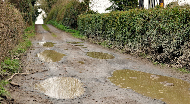 Net Walk & Shore LoneyWalking route · 1.2 mi
 Long PointHeadland · 1.3 mi
 Killyleagh Parish ChurchChurch · 1.5 mi
 North PointHeadland · 1.5 mi
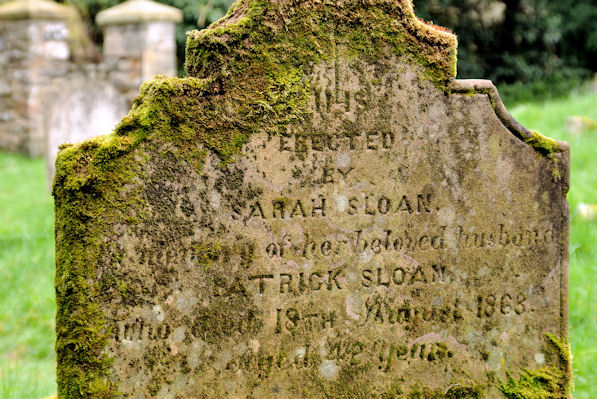 KILLOWEN MEDIEVAL CHURCH (ruined) and GRAVEYARD; with 2 CROSS-CARVED STONES in Corporation (killyleagh)KILLOWEN MEDIEVAL CHURCH (ruined) and GRAVEYARD; with 2 CROSS-CARVED STONES · 1.5 mi
 Dufferin ArmsPublic House · 1.6 mi
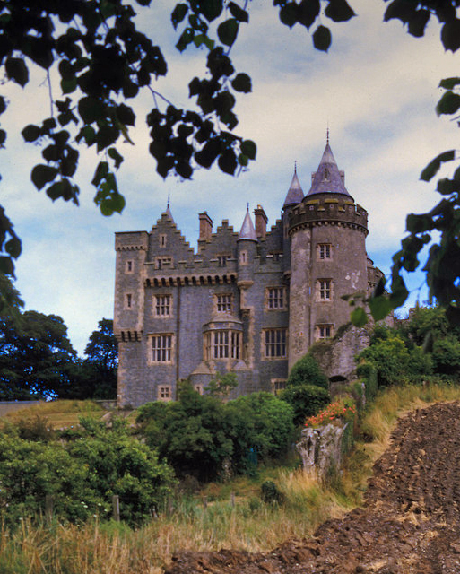 KILLYLEAGH CASTLEKILLYLEAGH CASTLE, multiperiod castle on site of Motte · 1.6 mi
 CASTLE, possibly Tower-House in RingdufferinCASTLE, possibly Tower-House · 1.8 mi
 Chapel IslandIslet · 1.8 mi
 ShrigleyVisitor information · 1.8 mi
.jpg?width=1280) DUAL COURT TOMB: AUDLEYSTOWN CAIRN in AudleystownDUAL COURT TOMB: AUDLEYSTOWN CAIRN · 2.4 mi
DUAL COURT TOMB: AUDLEYSTOWN CAIRN in AudleystownDUAL COURT TOMB: AUDLEYSTOWN CAIRN · 2.4 miOther information
Photo: Rossographer · CC BY-SA 2.0