
What is recorded here
Sections of coursed rubble "Old Red Sandstone" estate wall, extant 1902, with part creeper- or ivy-covered rounded coping. Road fronted at perimeter of grounds of Dunbrody House.
A lengthy estate wall not only making a pleasing visual statement in a rural street scene at the perimeter of the grounds of the Dunbrody House estate, but also illustrating the continued development or "improvement" of the estate by Henry "Harry" Spencer Chichester (1821-1906), second Baron Templemore: meanwhile, discreet benchmarks remain of additional interest for the connections with cartography and the preparation of maps by the Ordnance Survey (established 1824).
This does not grant access. Most recorded buildings are privately owned; view them only from public ground unless the owner allows entry.
Places near here
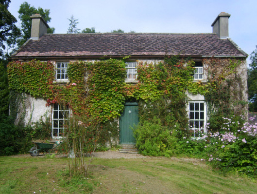 Fortagustahouse · 213 yd
 Dunbrody Housegates/railings/walls · 357 yd
 Common WhitebeamCommon Whitebeam · 377 yd
 Arthurstown BeachBeach / strand · 982 yd
 Enclosure in MersheenEnclosure · 1271 yd
 Kilhile Castle (in ruins)Castle, tower house · 1.0 mi
 Otter with a SalmonMemorial · 1.2 mi
 Ballyhack Castle (in ruins)Castle, tower house · 1.2 mi
 Tower (in ruins)Bastioned fort · 1.3 mi
 Ivory MemorialMemorial · 1.4 mi
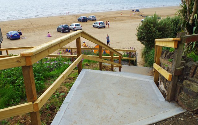 Duncannon BeachVisitor information · 1.5 mi
 DuncannonBeach / strand · 1.7 mi
Other information
Photo: National Inventory of Architectural Heritage · Website use allowed for educational or private purposes with source credit