
What is recorded here
Map note: Near Waterside, East Ayrshire, Scotland, the map records Dunaskin Brick Works as an ancient site. The past can keep its secrets; the map gives you a starting point.
From OpenStreetMap (© OpenStreetMap contributors) n4758077562
Places near here
Photo credits
- Maker not stated on source page, scenicrailbritain.com
- Maker not stated on source page, www.flickr.com
- Ian S, Wikimedia Commons · CC BY-SA 2.0
- Mary and Angus Hogg, Wikimedia Commons · CC BY-SA 2.0
- Leslie Barrie, Wikimedia Commons · CC BY-SA 2.0
- david johnston, Wikimedia Commons · CC BY-SA 2.0
- Maker not stated on source page, www.dreamstime.com
- Maker not stated on source page, uk.pinterest.com
- Billy McCrorie, Wikimedia Commons · CC BY-SA 2.0
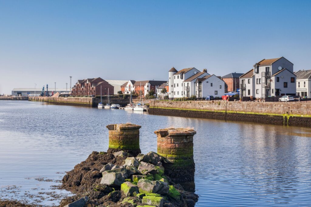 Waterside, Railway BridgeRailway Bridge (19th Century) · 375 yd
 Waterside, Dunaskin BridgeRoad Bridge · 409 yd
 Waterside, St Francis Xavier's Roman Catholic ChurchChurch (20th Century), Hall (20th Century), Nunnery (20th Century) - (20th Century), School (20th Century) - (20th Century) · 425 yd
 WatersideEnclosure(s) · 499 yd
 Laight CastleEarthwork(s), Tower House (medieval) · 600 yd
 Dunaskin GlenEnclosure · 806 yd
 Green HillBarrow (prehistoric) · 815 yd
 Waterside, Cutler, BridgeBridge · 849 yd
 Corbie CraigsMountain / peak · 1144 yd
 Keirs CastleTower House (medieval) · 1.0 mi
 Knockkippen HillMountain / peak · 1.2 mi
 Miners of Dalmellington Parish MemorialMemorial · 2.4 mi
More archaeology and monuments in East Ayrshire · All of East Ayrshire

What do you know about this place?Tap to add a comment or ask a question