What is recorded here
From OpenStreetMap (© OpenStreetMap contributors) w376266455
Places near here
Photo credits
- Jonathan Thacker, Wikimedia Commons · CC BY-SA 2.0
- Richard Webb, Wikimedia Commons · CC BY-SA 2.0
- Maker not stated on source page, maxolcarbonneutral.ie
- Chris Newman, Wikimedia Commons · CC BY-SA 2.0
- Anne Burgess, Wikimedia Commons · CC BY-SA 2.0
 Bakethin BridgeRig and Furrow (medieval) - (post Medieval) · 380 yd
Explorer Tom Bakethin Bridge is just a patch of medieval rig and furrow that’s been lying flat for centuries, probably waiting for…
 Redstones Burn, CulvertCulvert · 540 yd
Explorer Tom Redstones Burn has a culvert that locals insist is actually a dragon that got stuck in traffic and just gave up on…
 SarkshieldsFarmhouse, Farmstead · 693 yd
Explorer Tom Sarkshields in Dumfries and Galloway is a farmhouse and farmstead with no period assigned, so it’s basically been here…
Redstones BurnEarthwork (prehistoric) · 986 ydExplorer Tom Redstones Burn in Dumfries and Galloway is a prehistoric earthwork that seems to be hiding from its own history. Its…
 Burnfoothill WoodWood · 1106 yd
 Chalkyhill WoodWood · 1212 yd
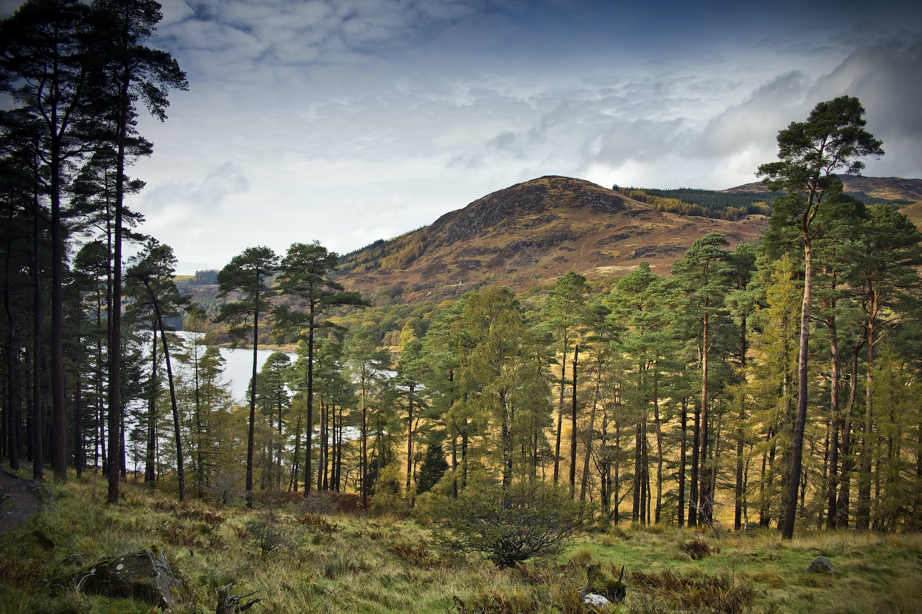 The ForestWood · 1477 yd
 WysebyhillFarmhouse, Farmstead · 1540 yd
Explorer Tom Wysebyhill in Kirkpatrick Fleming parish has a farmhouse and farmstead in the historic record, and my imaginary wise…
 SpringkellCoin (roman) · 1635 yd
Explorer Tom Springkell has got a Roman coin stuck in its pocket from a very confused tourist two thousand years ago who just gave…
 BurnfootHouse (post Medieval) · 1636 yd
Explorer Tom Burnfoot had a poet fall in the ditch nearby and he never recovered his dignity. It’s a post-medieval house with the…
 BrantethStone Circle (neolithic) - (bronze Age) (possible) · 1760 yd
Explorer Tom Branteth is out there playing hide-and-seek in Dumfries and Galloway, and frankly, it’s winning big time. It’s a stone…
 GallhillsFarmhouse, Farmstead, Horse Engine House (19th Century) - (20th Century) · 1.0 mi
Explorer Tom Gallhills has a horse engine house from the nineteenth century, which sounds impressive until you realize horses don’t…
More woods, forests and old trees in Dumfries and Galloway · All of Dumfries and Galloway

What do you know about this place?Tap to add a comment or ask a question