
What is recorded here
Dumbarton, Shier's Well is a holy well in West Dunbartonshire, Scotland.
Places near here
Photo credits
- Stephen Sweeney, Wikimedia Commons · CC BY-SA 2.0
- Maker not stated on source page, www.alamy.com
- Thomas Nugent, Wikimedia Commons · CC BY-SA 2.0
- John Firth, Wikimedia Commons · CC BY-SA 2.0
- Maker not stated on source page, dumbartonriverside.org.uk
- Lairich Rig, Wikimedia Commons · CC BY-SA 2.0
- Maker not stated on source page, en.wikipedia.org
- Maker not stated on source page, www.tripadvisor.co.uk
- wfmillar, Wikimedia Commons · CC BY-SA 2.0
 Dumbarton, High StreetNo Class (event) · 221 yd
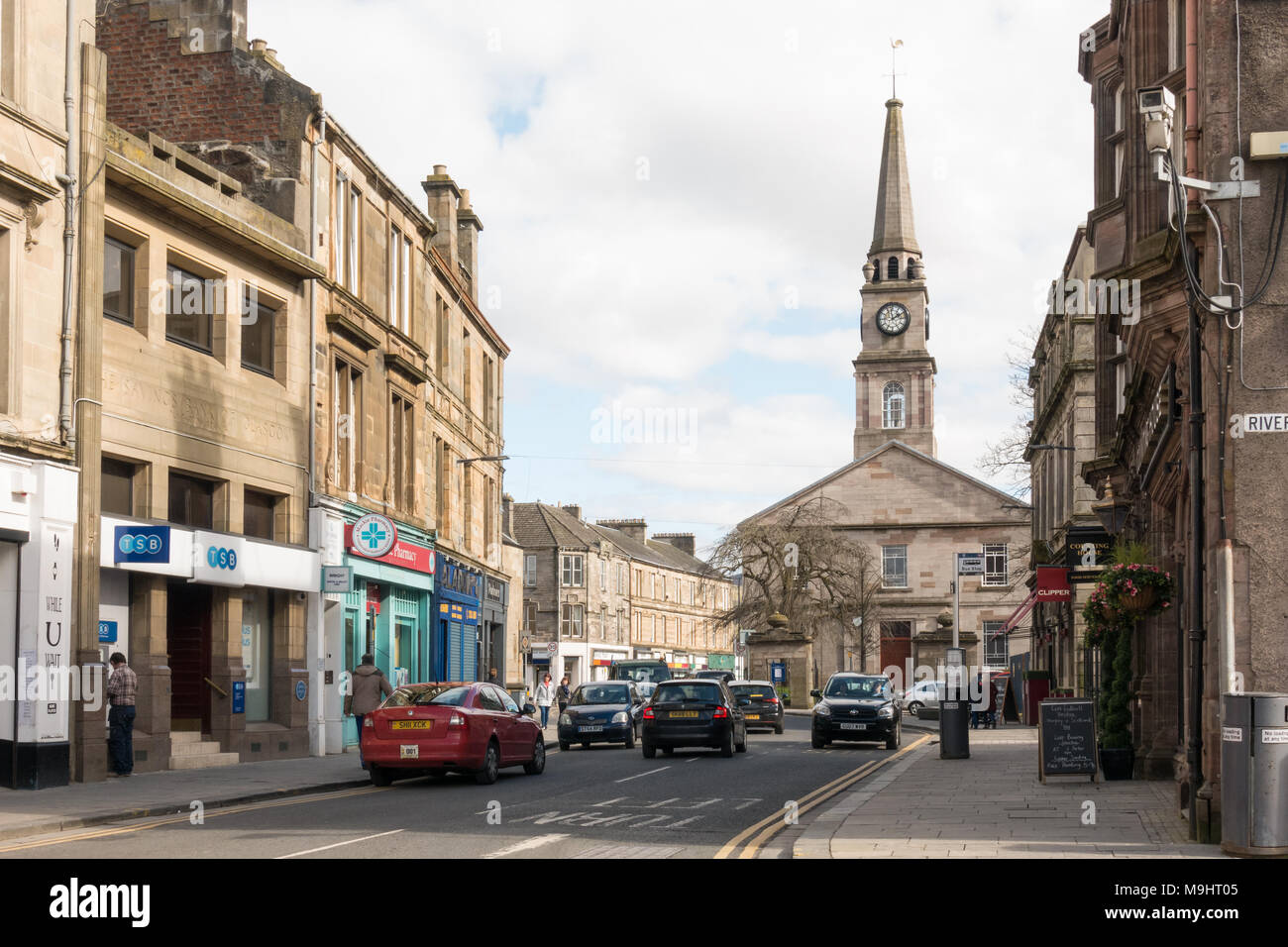 Dumbarton, 143-147 High Street, High ChurchChurch (19th Century) - (20th Century), Leisure Centre (modern) · 224 yd
 Dumbarton, High Street, GeneralGeneral View · 258 yd
 Dumbarton, Riverside LaneNo Class (event) · 288 yd
 Dumbarton, Risk Street, Lennox Evangelical ChurchChurch (20th Century) · 310 yd
 Dumbarton, St Mary's Way, North Church of ScotlandChurch (19th Century) · 352 yd
 Dumbarton, High Street, St Augustine's Episcopal ChurchBuilding(s) (post Medieval), Church (19th Century), Unidentified Pottery (15th Century) · 400 yd
 Dumbarton, High Street, Riverside Parish Church, ChurchyardBurial Ground (post Medieval), Churchyard (post Medieval) · 419 ydDumbarton, Church CourtNo Class (event) · 420 yd
 Dumbarton, High Street, St Augustine's Episcopal Church, HallHall · 424 yd
 French PrisonHeritage attraction · 898 yd
 White Tower CragHeritage attraction · 916 yd
More archaeology and monuments in West Dunbartonshire · All of West Dunbartonshire

What do you know about this place?Tap to add a comment or ask a question