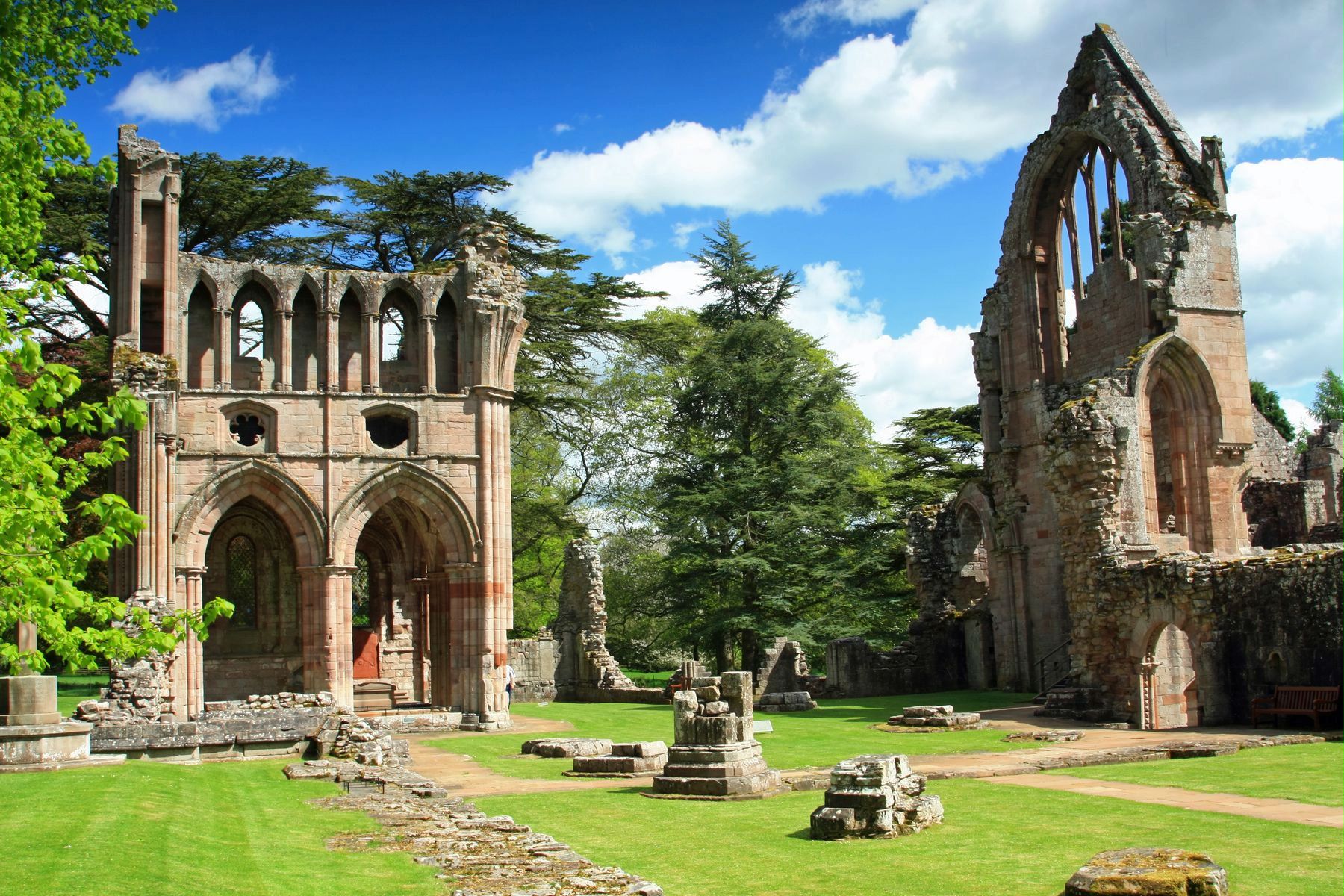
What is recorded here
Dryburgh Abbey House, Stables is a stable in Scottish Borders, Scotland.
Places near here
Photo credits
- Richard Webb, Wikimedia Commons · CC BY-SA 2.0
- Maker not stated on source page, travellingvisio.com
- Jim Barton, Wikimedia Commons · CC BY-SA 2.0
- Walter Baxter, Wikimedia Commons · CC BY-SA 2.0
- JThomas, Wikimedia Commons · CC BY-SA 2.0
- Oliver Dixon, Wikimedia Commons · CC BY-SA 2.0
- Tim Heaton, Wikimedia Commons · CC BY-SA 2.0
- Mary and Angus Hogg, Wikimedia Commons · CC BY-SA 2.0
 St Boswells, Brae Heads Road, Braeheads HouseHouse · 443 yd
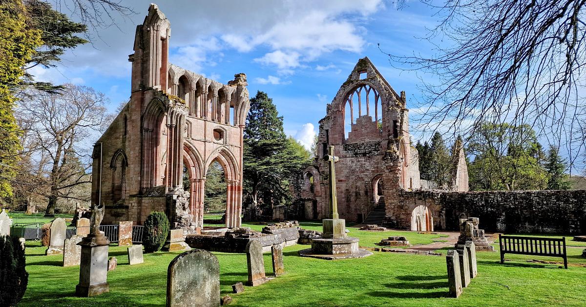 Dryburgh Abbey, Upper LodgeLodge · 468 yd
 DryburghFindspot, Bead (glass), Hammerstone, Unidentified Flint (flint) · 507 yd
 St Boswells, St Boswells Golf CourseGolf Course (19th Century) (1899) · 508 yd
 St Boswells Drinking FountainMemorial · 540 yd
 Dryburgh MainsFarmhouse · 576 yd
 Lessudden HouseCountry House (16th Century) · 591 yd
 Dryburgh, Stirling TowerCottage(s), Tower · 594 yd
 St Boswells ChurchChurch, War Memorial (20th Century) · 653 yd
 St Boswells, Main Street, Telephone Call BoxTelephone Box (20th Century) · 672 yd
 Scottish Borders Donkey SanctuaryHeritage attraction · 906 yd
 Benrig CemeteryCemetery · 1.0 mi
More archaeology and monuments in Scottish Borders · All of Scottish Borders

What do you know about this place?Tap to add a comment or ask a question