What is recorded here
From OpenStreetMap (© OpenStreetMap contributors) w883845966
Places near here
Photo credits
- Andy Farrington, Wikimedia Commons · CC BY-SA 2.0
- Maker not stated on source page, en.wikipedia.org
- Maker not stated on source page, www.youtube.com
- Chris Newman, Wikimedia Commons · CC BY-SA 2.0
- Maker not stated on source page, commons.wikimedia.org
 Annat HillEnclosure · 546 yd
Explorer Tom Annat Hill is named after a word that probably means 'slightly damp' in ancient Gaelic, or maybe it’s just a bad pun…
 AiryhassenWind Pump · 985 yd
Explorer Tom Airyhassen is a wind pump with no idea when it was built, basically an orphan of engineering who shows up to every…
 Balcraig MoorFarmstead · 1100 yd
Explorer Tom Balcraig Moor in Glasserton parish has a farmstead on Scotland’s historic record, while my imaginary surveyor is trying…
 West DrummoddieFarmstead · 1320 yd
Explorer Tom West Drummoddie is separately recorded as a farmstead in Glasserton parish, and my imaginary drummer insists sunset…
 North DrummoddieFarmstead · 1466 yd
Explorer Tom North Drummoddie has a farmstead entry in Glasserton parish, while my imaginary drummer claims the compass direction…
 Kirkland of Longcastle, Church and Burial-groundBurial Ground (medieval), Church (medieval), Cross(s) (medieval) · 1583 yd
Explorer Tom Kirkland of Longcastle is throwing a medieval funeral but forgot to invite anyone. A church, a burial ground, and some…
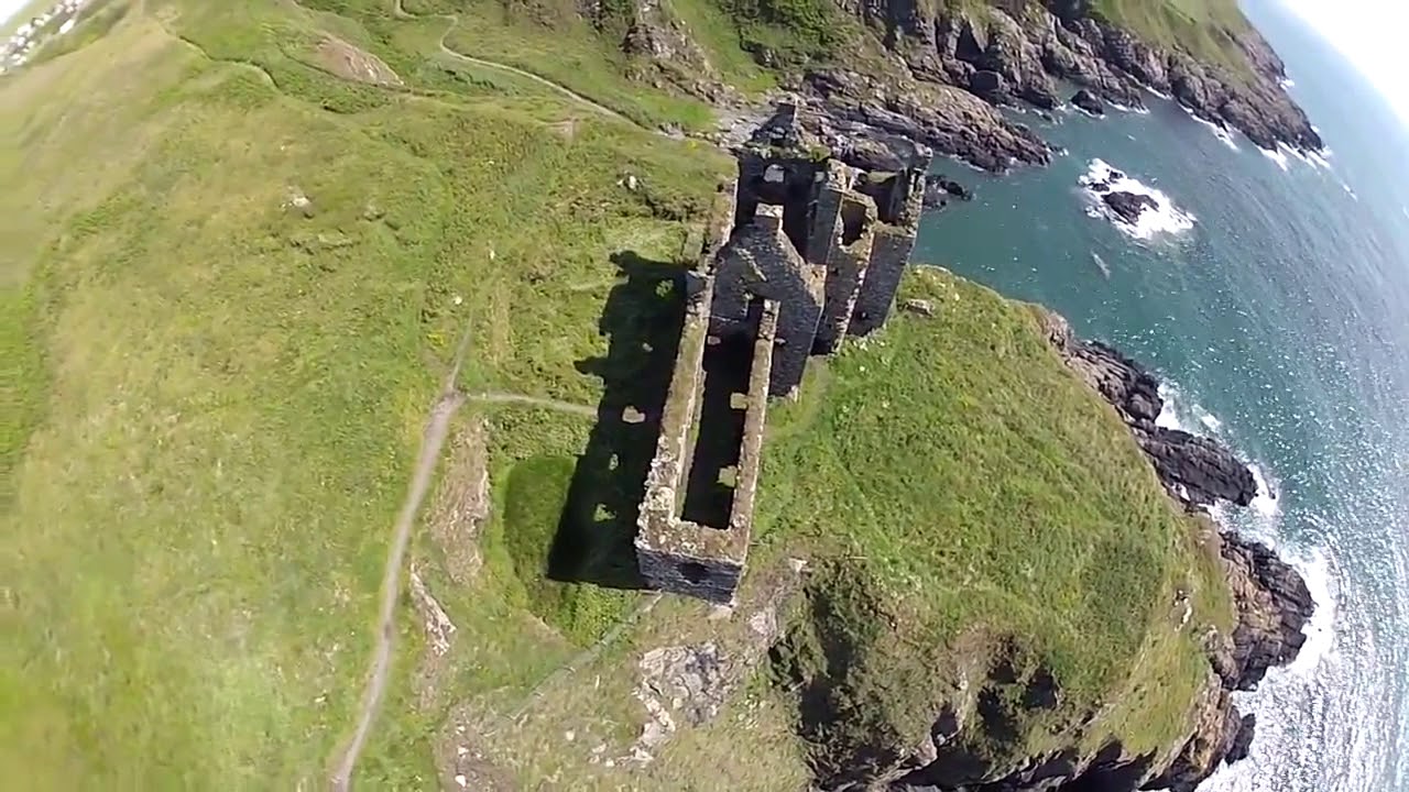 Long CastleCastle (medieval) · 1590 yd
Explorer Tom Long Castle was started by two lads making a bet in the pub about who could build the longest wall before they sobered…
 South DrummoddieFarmhouse, Farmstead · 1698 yd
Explorer Tom South Drummoddie in Glasserton parish has a farmhouse and farmstead on the historic record, and my imaginary drummer…
 East DrummoddieFarmstead · 1700 yd
Explorer Tom East Drummoddie has its own farmstead point in Glasserton parish, which gives my imaginary drummer another excuse to…
 Boreland of LongcastleFindspot (20th Century), Brooch (roman) · 1758 yd
Explorer Tom Boreland of Longcastle in Dumfries and Galloway is where a Roman brooch got lost and never found. Locals swear if you…
 Big BalcraigBuilding · 1.0 mi
Explorer Tom Big Balcraig would write 'Looking for someone big enough to match my vibe' on its dating profile. It’s a building with…
 Moure CastleCastle (medieval) · 1.7 mi
Explorer Tom Moure Castle is guarding a superstition so strong you can smell the bad luck from three fields away. Locals swear if…
More woods, forests and old trees in Dumfries and Galloway · All of Dumfries and Galloway

What do you know about this place?Tap to add a comment or ask a question