What is recorded here
Drumroe Castle stood as a Cavanagh stronghold before ruin claimed it, leaving only vaulted stone chambers behind. The Earle of Ormond owned the land in 1640, yet the castle had already fallen into decay when the Down Survey recorded it. Tradition holds it was erected on a rath, suggesting older hands shaped the ground before the Cavanagh stone rose above it. What remains is a hollow frame, dark and quiet, waiting for someone to imagine the lives lost inside its chambers.
The Down Survey (1655-6) parish map of Powerstown, in the barony of Gowran, indicates a castle in Drumroe townland, which subsequently became Mountloftus townland (Hibernia Regnum, courtesy of Trinity College Dublin). The terrier accompanying this parish map mentions, 'There[i]s on Drumroe a Ruinous Castle' with the 'Earle of Ormond' listed as the proprietor in 1640 (ibid.). According to O'Kelly (1969, 88) the castle was formerly a Cavanagh stronghold of which 'only the vaulted stone chambers remain'. O'Kelly (ibid.) also mentions a tradition that the castle was 'erected on a rath' (KK025-022002-).
See attached:
KK025-022001-_01 extract from Down Survey (1655-6) parish map of Powerstown (Hib. Reg., courtesy of Trinity College Dublin)
Compiled by: Jean Farrelly
Date of upload: 1 March 2022
Drumroe Castle was likely held by a notable Irish or Anglo-Norman family during the medieval period; its exact builder and construction date are not specified, but it is significant for its representation on the Down Survey maps from 1655-56, indicating its role in the local landscape and ownership patterns of that era.
The monument record does not grant public access. Check the route and ask the landowner before entering private land.
- What survives
- Recorded monument
Places near here
 Drumroe Castle (ruins)Castle · 1 yd
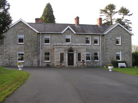 Mount Loftuscountry house · 170 yd
 RaheennamaghilEnclosure · 610 yd
 Enclosure in Gorteen (gowran By.)Enclosure · 692 yd
 Ballyteige Locklock · 1052 yd
 CastleCastle, motte · 1.2 mi
 Tinnakeenly BogForest · 1.3 mi
 The bogForest · 1.4 mi
 The PoundMemorial · 4.4 mi
 Assembly RoomsMemorial · 4.6 mi
 Tullaherin Church and Round TowerVisitor information · 6.3 mi
 St. Mogarra’s WellSpring · 8.3 mi