What is recorded here
Drumline Fort is a named absence on a north-facing pasture slope in Tullassa, County Clare. Cartographers marked it as a fort on the 1842 and 1921 maps, yet no bank, ditch or stone remains visible for anyone walking past. The land has swallowed the shape that gave the place its name, leaving only the memory of a boundary behind.
Situated on a rise on a N-facing slope in pasture. Listed as 'Enclosure' in the SMR (1992) and the RMP (1996). Named 'Drumline Fort' on the 1842 and 1921 eds. of the OS 6-inch map. It is not visible at ground level.
Compiled by: Michael Moore
Date of upload: 31 May 2016
The monument record does not grant public access. Check the route and ask the landowner before entering private land.
- What survives
- Recorded monument
Places near here
 LiskylenagappaghFairy fort / earthen ringfort · 569 yd
 Knockreagh FortFairy fort / earthen ringfort · 1062 yd
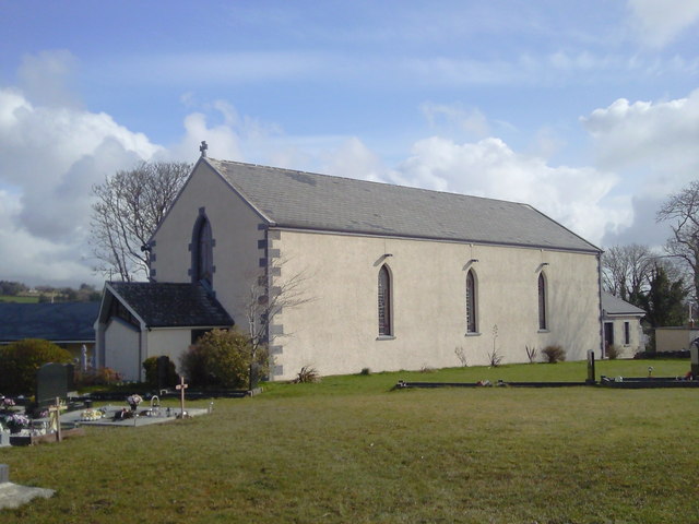 Saint Joseph's Catholic Churchchurch/chapel · 1.1 mi
 Shallee Castle (in Ruins)Castle, tower house · 1.4 mi
 CastleCastle, unclassified · 1.8 mi
 Bushypark Househouse · 1.9 mi
 Poul na gollorCave · 2.6 mi
 Alice and Gwendoline CaveMuseum · 4.2 mi
 Post Office FieldNature reserve · 4.3 mi
 Rockmount WoodWood · 4.4 mi
 Ennis AbbeyMuseum · 4.5 mi
 Clare MuseumMuseum · 4.5 mi