
What is recorded here
From the National Monuments Service (Archaeological Survey of Ireland) record RO002-001
Places near here
Photo credits
- Oliver Dixon, Geograph · CC BY-SA 2.0
- Maker not stated on source page, letsgowiththechildren.co.uk
- Maker not stated on source page, www.thejournal.ie
- Maker not stated on source page, www.pinterest.com
- Willow, Wikimedia Commons · CC BY 2.5
- Kenraiz, Wikimedia Commons · CC BY-SA 3.0
- Maker not stated on source page, ar.pinterest.com
- Drumkeerin GAA (official club site publisher); individual photographer not named, drumkeeringaa.com
- Kmcnamee, Wikimedia Commons · CC BY-SA 4.0
- National Inventory of Architectural Heritage
 Scardan WaterfallWaterfall · 1.2 mi
Explorer Tom Scardan Waterfall is tucked into Leitrim's hills above Lough Allen, where the Miners Way passes and a small car park…
 Fairy fort / earthen ringfort in DrummanasooanFairy fort / earthen ringfort · 2.1 mi
Explorer Tom Drumanasooan’s Fairy fort is having a rivalry with Lough Allen over who reflects the sky better, and it’s losing badly.…
 Fairy fort / earthen ringfort in SrananooanFairy fort / earthen ringfort · 2.2 mi
Explorer Tom Fairy fort / earthen ringfort in Srananooan is perched on a slope, looking a bit poached by curious locals or sheep.…
 CastleCastle, unclassified · 2.3 mi
Explorer Tom Castle in Cornagee, County Roscommon would win a county fair by just standing still looking smug, while Myles Cavanagh…
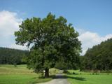 European ash2.5 mi
Explorer Tom European Ash would order a large chipper with extra gravy and no vegetables. It’s a heritage tree that looks like it’s…
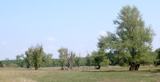 Black Poplar2.5 mi
Explorer Tom Black Poplar has a secret it would only tell after a few pints of stout. It’s been standing there judging everyone who…
 Bullaun stone in ModorraghBullaun stone · 3.3 mi
Explorer Tom Bullaun stone in Modorragh has four holes, but two are cracked, so it’s half-embarrassed about its own face. It’s proud…
 Drumkeerin GAAGAA ground · 3.6 mi
 Kilronan Park, St. Ronan's GAAGAA ground · 3.8 mi
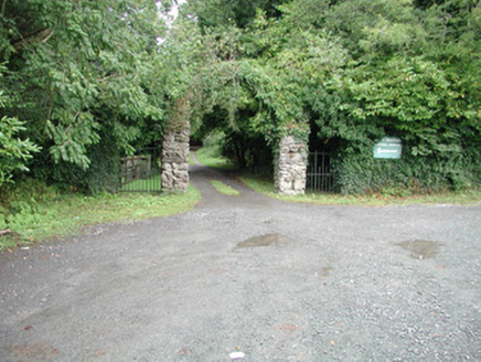 Kilronan CastleGate lodge · 3.8 mi
Explorer Tom Kilronan Castle in Carrowmore is actually just a gate lodge pretending to be a hermitage, which is a bit of a stretch…
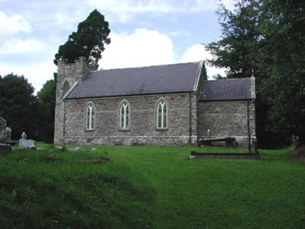 Saint Thomas's Church (Kilronan)Church/chapel · 3.8 mi
Explorer Tom Saint Thomas's Church in Kilronan nearly became famous when a tourist mistook the short tower for a giant mushroom…
 Graveyard in KnockmoreGraveyard · 6.0 mi
Explorer Tom Graveyard in Knockmore is officially invisible, probably because it got lost in a game of hide-and-seek with reality…
More archaeology and monuments in County Roscommon · All of County Roscommon

What do you know about this place?Tap to add a comment or ask a question