What is recorded here
Located towards the top of the SE-facing slope of a small NE-SW ridge. A pair of quartz bearing granite standing stones are placed 4.2m apart in a line running NNE SSW. The N stone (dims. 0.8m x 0.45m; H 1m) is roughly aligned NNE-SSW and flat-topped while the S stone has a rectangular cross-section (dims. 0.55 0.7m x 0.7m; H 1.35m) at the base but narrows to a point on a N-S ridge.
The above description is derived from the published 'Archaeological Inventory of County Wexford' (Dublin: Stationery Office, 1996). In certain instances the entries have been revised and updated in the light of recent research.
Compiled by: Michael Moore
Date of upload/revision: 27 August, 2012
Druids Altar, Barmoney is likely associated with the Late Neolithic or Early Bronze Age, periods when standing stones and ritual monuments were commonly constructed in Britain and Ireland. While no specific folklore is recorded, such paired stones may have been used for ceremonial purposes, possibly linked to seasonal rituals or astronomical observations.
The monument record does not grant public access. Check the route and ask the landowner before entering private land.
- What survives
- Recorded monument
Places near here
 Church WellHoly well · 206 yd
 Structure in BarmoneyStructure · 269 yd
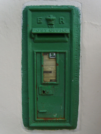 post boxpost box · 1.1 mi
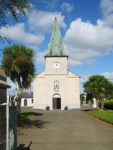 Catholic Church of Saint John the Baptistchurch/chapel · 1.1 mi
 (Site of) Doonoonen CastleCastle, motte · 1.6 mi
 Camaross HillMountain / peak · 2.1 mi
 Raheennahoon HillMountain / peak · 2.2 mi
 Glenour MonumentMemorial · 3.1 mi
 (Site of) CastleCastle, unclassified · 3.1 mi
 Celebrating 125 YearsMemorial · 3.5 mi
 King's IslandIsland · 4.7 mi
 Battle Of The Three RocksMemorial · 5.6 mi