What is recorded here
Situated towards the bottom of an E-facing slope. The castle of Ballykeeroge (WA023-035001-) was granted to Sir Nicholas Walshe in 1587 (Grattan-Flood 1901). It is described as a ruined castle with a large bawn, an orchard, a pigeon house and several cabins in the Civil Survey of c. 1654-6 (Simington 1942, 80), but no evidence of the pigeon house survives and its location is unknown.
Grattan-Flood, W. H. (1901) Notes and Queries - 'Ballycarogue castle, Co. Waterford'. WAJ 7, 101.
Simington, R. C. (ed.) (1942) The Civil Survey AD 1654-1656, vi, the County of Waterford. Irish Manuscripts Commission. Dublin.
Date of upload: 21st April, 2011. Compiled by: Michael Moore.
The monument record does not grant public access. Check the route and ask the landowner before entering private land.
- What survives
- Recorded monument
Places near here
 Bawn in Castlequarter (decies Without Drum By., Kilrossanty Par.)Bawn · 318 yd
 Embanked enclosureFairy fort / earthen ringfort · 514 yd
 Durrow Viaductbridge · 1285 yd
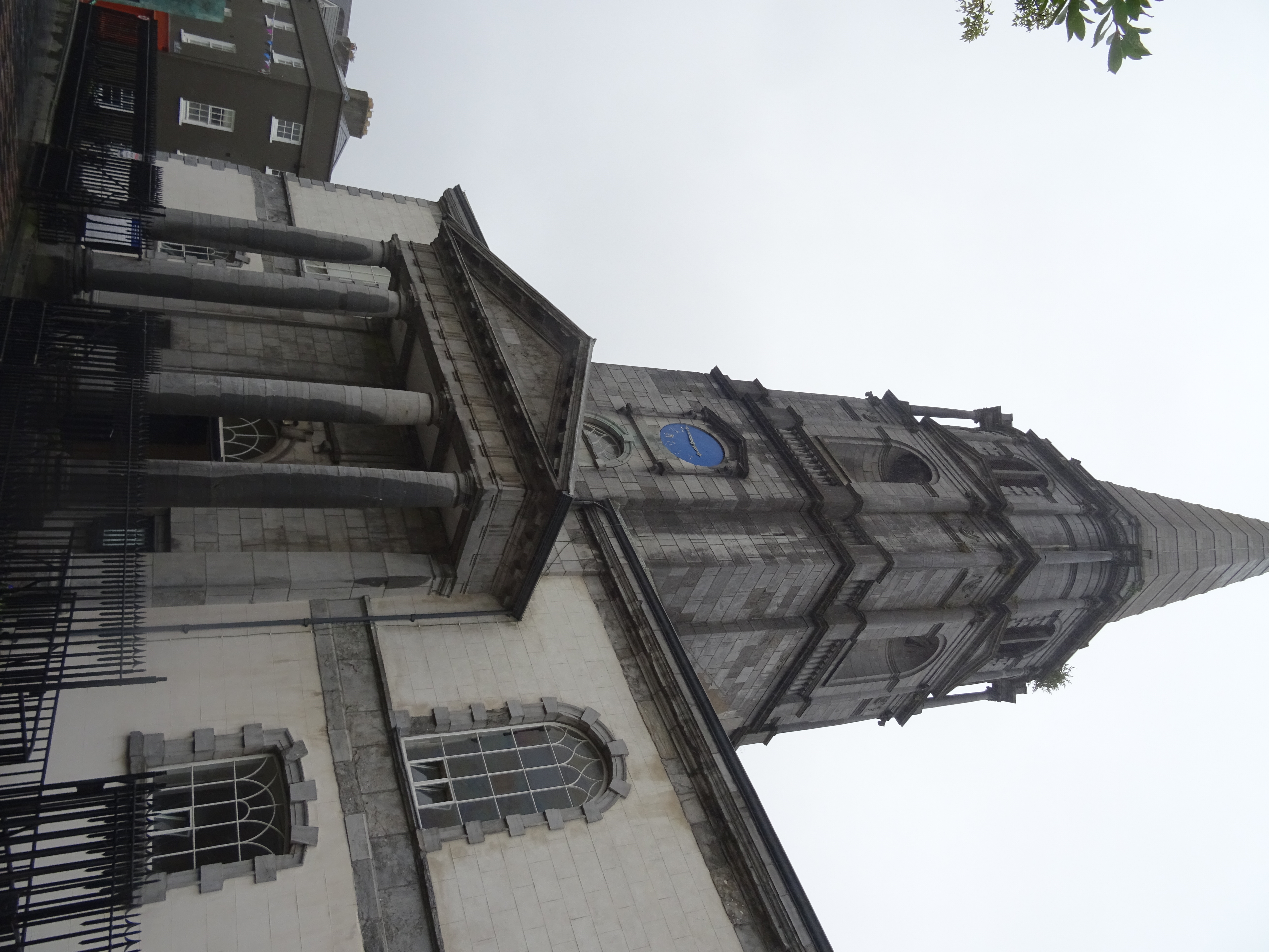 Church in EnglishtownChurch · 1285 yd
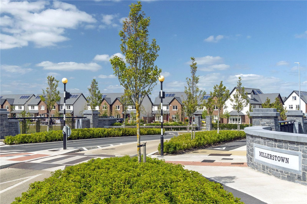 Man-made underground passage in MillerstownMan-made underground passage · 1.0 mi
 Church (in ruins)Castle, unclassified · 1.7 mi
 Deelish MountainMountain / peak · 2.9 mi
 Clonea StrandBeach / strand · 2.9 mi
 Horse-chestnutHorse-chestnut · 3.3 mi
 CrohaunMountain / peak · 3.7 mi
 Cunnigar PointHeadland · 5.1 mi
 Dungarvan CastleCastle · 5.2 mi