What is recorded here
Athlacca Parish, County Limerick: A narrow two-storey pigeon house stood at the eastern edge of Ballinculloo when surveyed in 1654, its exact spot now lost beneath grass and memory. The surveyor marked it without ceremony, yet the building itself spoke plainly: a family or estate proud enough to keep doves, tall enough to be seen from a distance, small enough to belong to one household rather than a castle. Its disappearance is not a failure of record but a reminder that ordinary pride still builds structures worthy of notice.
The precise location of a medieval dovecote in the SE quadrant of the townland of Ballinculloo (Baile an Cholbha) has not been identified. The 1654-7 Down Survey map of Athlacca Parish shows a narrow two storey tower annotated 'a pigeon House' standing close to the E boundary of the townland (NLI, MS 718).
See attached Down Survey map of Athlacca Parish
Compiled by: Caimin O'Brien
Date of upload: 28 April 2020
The monument record does not grant public access. Check the route and ask the landowner before entering private land.
- What survives
- Recorded monument
Places near here
 EnclosureEnclosure, large enclosure · 795 yd
 Bawn in Ballycullane (kilmallock By.)Bawn · 1176 yd
 Enclosure in RathcannonEnclosure · 1209 yd
 Bawn in MaidstownBawn · 1292 yd
 Quarry in Dromin NorthQuarry · 1688 yd
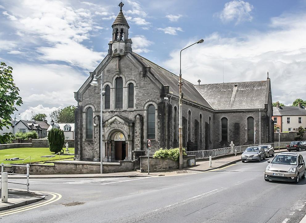 Dromin Church (in ruins)Church · 1.1 mi
 King John's CastleCastle · 3.6 mi
 Monasteranenagh AbbeyHeritage attraction · 5.2 mi
 St Bridget's WellSpring · 5.3 mi
 European ashEuropean ash · 6.0 mi
 Pedunculate OakPedunculate Oak · 6.2 mi
 Biodiversity in the Maigue CatchmentVisitor information · 6.7 mi