What is recorded here
The precise location of a medieval dovecote in the SE quadrant of the townland of Ballinculloo (Baile an Cholbha) has not been identified. The 1654-7 Down Survey map of Athlacca Parish shows a narrow two storey tower annotated 'a pigeon House' standing close to the E boundary of the townland (NLI, MS 718).
See attached Down Survey map of Athlacca Parish
Compiled by: Caimin O'Brien
Date of upload: 28 April 2020
The monument record does not grant public access. Check the route and ask the landowner before entering private land.
- What survives
- Recorded monument
Places near here
 EnclosureEnclosure, large enclosure · 795 yd
 Bawn in Ballycullane (kilmallock By.)Bawn · 1176 yd
 Enclosure in RathcannonEnclosure · 1209 yd
 Bawn in MaidstownBawn · 1292 yd
 Quarry in Dromin NorthQuarry · 1688 yd
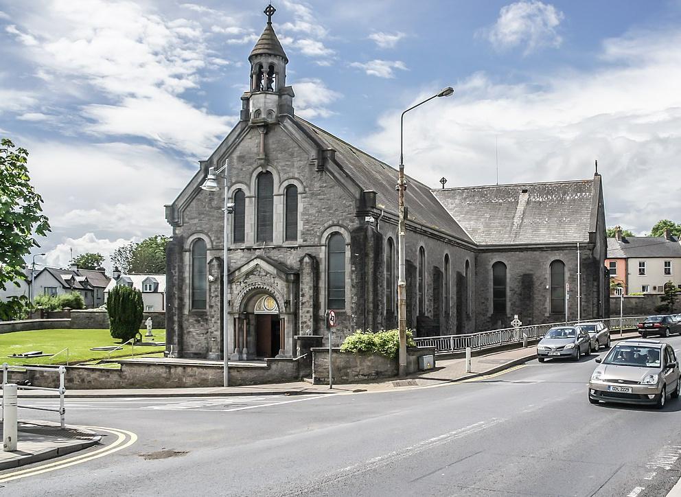 Dromin Church (in ruins)Church · 1.1 mi
 King John's CastleCastle · 3.6 mi
 Monasteranenagh AbbeyHeritage attraction · 5.2 mi
 St Bridget's WellSpring · 5.3 mi
 European ashEuropean ash · 6.0 mi
 Pedunculate OakPedunculate Oak · 6.2 mi
 Biodiversity in the Maigue CatchmentVisitor information · 6.7 mi