What is recorded here
Situated inside the SSW perimeter of an ecclesiastical enclosure (CL026-003001-). A diamond-shaped slab of Old Red Sandstone (dims. 1.6m x 1.05m; T 0.45m ) with one complete basin (dims. 0.5m x 0.42m; max. D 0.17m) containing seven water-rolled 'cursing' stones (CL026-003007-). A smaller and shallower basin is adjacent on the surface of the same boulder. Named 'Doughnambraher Font' on the OS 6-inch maps (1840 and 1920) and known locally as 'Jack Baker's well' (Lenihan 1994, 44). (Stacpoole 1904, 190; MacMahon 1984, 17; Spellissy 1987, 24)
Compiled by: Michael Moore
Date of upload: 28 November 2016
Dated to the early Christian period, likely 6th to 10th century AD, the font may have been used for baptism or ritual washing within a monastic or ecclesiastical setting. Such fonts are often associated with holy wells or early Christian sites and may carry local folklore linking them to saints or healing traditions.
The monument record does not grant public access. Check the route and ask the landowner before entering private land.
- What survives
- Recorded monument
Places near here
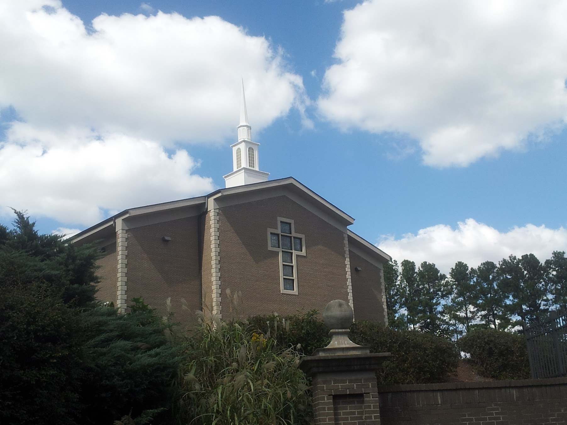 Church in KillianChurch · 42 yd
 Kilvake Church (in ruins)Church · 1223 yd
 CastleCastle, ringwork · 1268 yd
 Dromore WoodWood · 1407 yd
 Gorteenflugh FortEnclosure · 1450 yd
 Dromore CastleCastle · 1468 yd
 IndicatedEnclosure · 1719 yd
 Ballygriffy WoodWood · 2.4 mi
 Mulkere MemorialMemorial · 2.5 mi
 Battle of TullyodeaBattlefield · 2.9 mi
 Ennis AbbeyMuseum · 5.2 mi
 Poul na gollorCave · 7.0 mi