What is recorded here
Situated in pasture. Depicted on the 1837 ed. OS 6-inch map as a subrectangular-shaped earthwork and on the revised 1913 ed. OS 25-inch map as a roughly oval-shaped earthwork. Levelled monument described in 1977 as no surface remains visible. Site of levelled monument visible today as a faintsroughly oval-shaped cropmark on Digital Globe aerial photography.
Compiled by Alison McQueen, Vera Rahilly and Caimin O’Brien.
Date of upload: 12 September 2019
The monument record does not grant public access. Check the route and ask the landowner before entering private land.
- What survives
- Recorded monument
Places near here
 OutlinedEnclosure · 549 yd
 Partially hachuredFairy fort / earthen ringfort · 594 yd
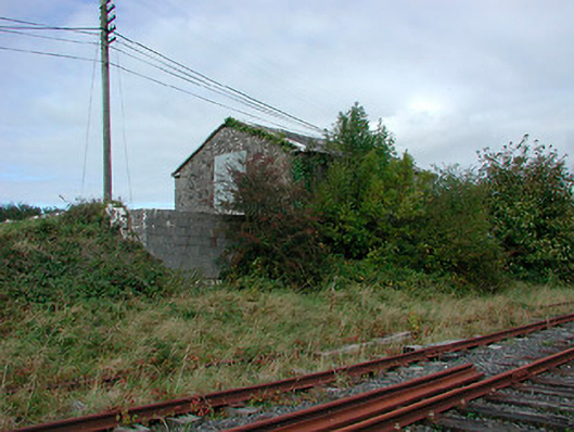 Castletown Railway Stationstore/warehouse · 749 yd
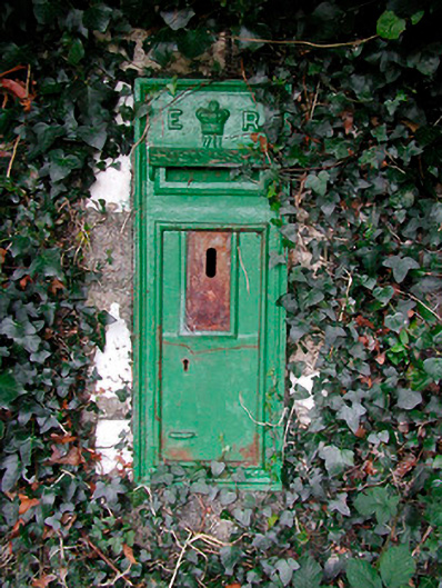 post boxpost box · 775 yd
 CastleCastle, tower house · 1032 yd
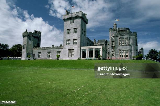 Glomerstown CastleCastle, unclassified · 1286 yd
 Ancient Ring FortWood · 2.2 mi
 Hill of UisneachMountain / peak · 2.5 mi
 European ashEuropean ash · 3.1 mi
 KnockastiaMountain / peak · 5.2 mi
 St. Columba's WellSpring · 9.7 mi
 Abbeyshrule AbbeyRuins · 9.8 mi