
What is recorded here
Situated on a rise, in pasture and overlooking low-lying, rough pasture to N. Depicted on the revised 1910 ed. OS 25-inch map as a roughly oval-shaped earthwork abutting a field boundary to E and S. Monument described in 1973 as a roughly circular-shaped area (approx. diam. 42m) defined by a scarp, an intervening fosse and an outer bank. The scarp is constructed of earth and stone and is defined on the exterior by a shallow fosse. There are traces of a slight outer bank visible from SW-W-N-E-SE which may be incorporated in to a field boundary from SE-S-SW. The interior is relatively level and some stones project from the surface. Monument is visible today as a tree-planted earthwork on Digital Globe aerial photography.
Compiled by Alison McQueen, Vera Rahilly and Caimin O’Brien.
Date of upload: 09 November 2019
The monument record does not grant public access. Check the route and ask the landowner before entering private land.
- What survives
- Recorded monument
Places near here
 Enclosure in KillogeenaghanEnclosure · 666 yd
 Ecclesiastical enclosure in FassaghEcclesiastical enclosure · 904 yd
 Church in Glen (clonlonan By.)Church · 1386 yd
 CastleCastle, ringwork · 1586 yd
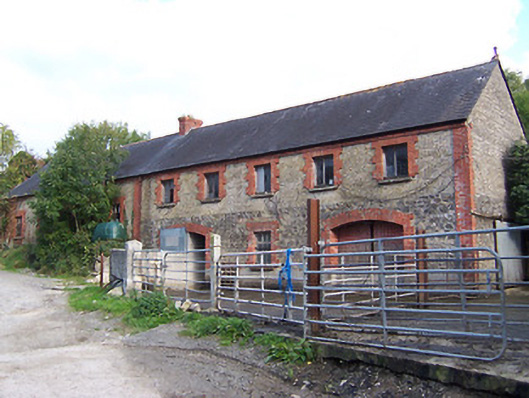 Glynnwood Houseoutbuilding · 1.0 mi
 TullymagawlyBawn · 1.1 mi
 European ashEuropean ash · 2.9 mi
 Long IslandIsland · 4.1 mi
 Wren's IslandIslet · 4.4 mi
 Athlone Music MuseumMuseum · 5.0 mi
 1916 Centenery CommemorationMemorial · 5.1 mi
Other information
Photo: Credit not shown in the picture search · Rights wording not checked; contact us if this picture should be removed