What is recorded here
Children's Burial Ground in Gorteennakilla (Ghoirtín na Cille / Church of the Little Field) known locally as the 'Little Kyle' consists of a roughly rectangular-shaped area (dims. 36.5m N-S x 51.2m E-W) of rock outcrop enclosed by a stone wall (H 5-6 inches / 0.15m) (Power 1998, 23-4). Depicted as an area of rock outcrop contained within a dotted outline border on the 1838 ed. OSi 6-inch map. Shown as a sub-rectangular shaped field attached to S side of building at NW corner on revised 25-inch OSi map. According to Power (1998, 24) in the SE quadrant of the enclosure are the wall footings of a circular-shaped drystone building which he identified as the remains of a clochán. He also suggested the presence of a small church or oratory measuring internally 12 feet (3.65m). To the W of the clochán area two rows of uninscribed sandstone headstones marking the graves of unbaptised children which are aligned on a N-S axis (ibid.). Power recorded that tradition that the burial ground had been used by people from County Limerick during the night as late as 1930.
See attached sketch plan of children's burial ground taken from Power 1998.
Compiled by: Caimin O'Brien
Date of upload: 21 April 2021
The monument record does not grant public access. Check the route and ask the landowner before entering private land.
- What survives
- Recorded monument
Places near here
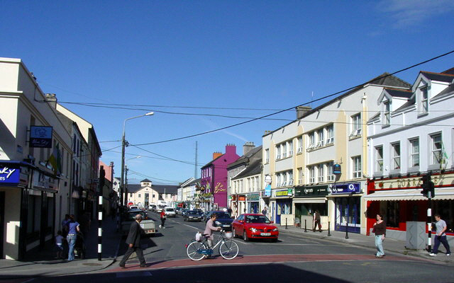 Hogans PassBridge · 1169 yd
 Enclosure in TullamoreEnclosure · 1183 yd
 ToberbreedaHoly well · 1212 yd
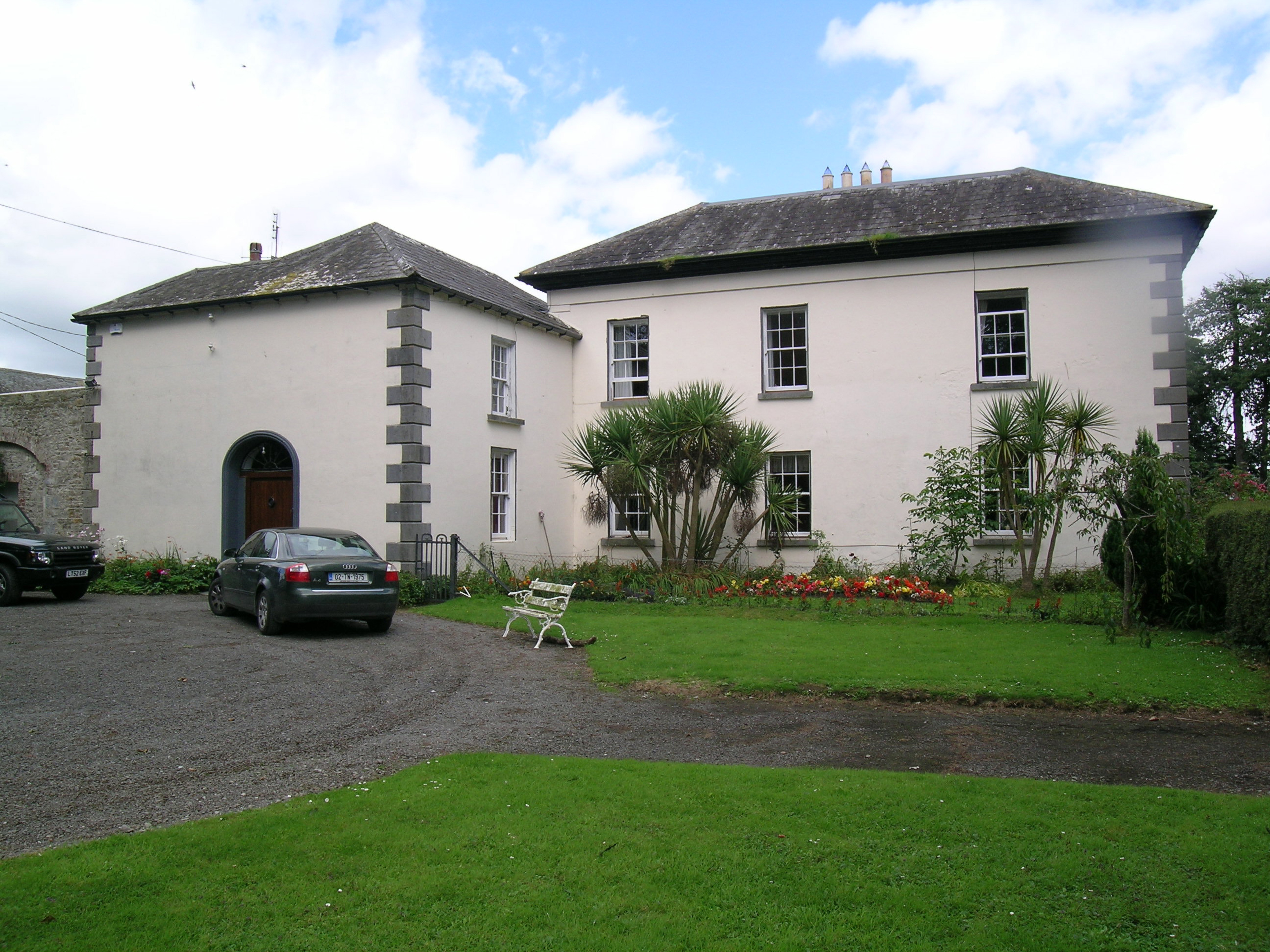 Tullamore Parkcountry house · 1403 yd
 Bawn in Kilcolman (youghalarra Par.)Bawn · 1.1 mi
 Monroe Castle in ruinsCastle, unclassified · 1.4 mi
 Blessed WellNature reserve · 2.0 mi
 Giant's GraveArchaeological place · 3.0 mi
 Nenagh Heritage CentreMuseum · 3.0 mi
 Old BarracksHeritage attraction · 3.2 mi
 Youghal BayBay · 3.3 mi
 Corbally HillMountain / peak · 3.6 mi