What is recorded here
In flat pasture 115m W of stream that marks the townland boundary with Carrickittle. Cool House 200m to N. Not depicted as an antiquity but shown as an oval-shaped area (dims. c. 70m NE-SW; 45m NW-SE) indicated with a dotted line on 1840 ed. OSi 6-inch map with a trackway to immediate E. It is not depicted on subsequent OSi maps. Outline of shallow depression with traces of possible surrounding bank visible on Google Earth orthoimage dated 18/11/2018 may be remains of an estate feature associated with Cool House.
See attached Google Earth orthoimages
Compiled by: Martin Fitzpatrick
Date of upload: 3 April 2021
The monument record does not grant public access. Check the route and ask the landowner before entering private land.
- What survives
- Recorded monument
Places near here
 Enclosure in CromwellEnclosure · 726 yd
 Carrickittle RockCastle, unclassified · 747 yd
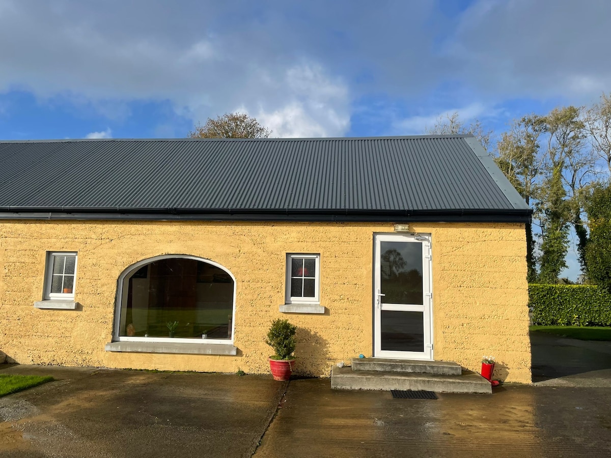 Hut site in KilteelyHut site · 926 yd
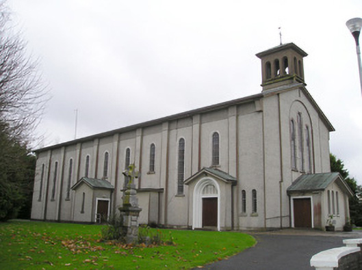 Catholic Church of Saint Patrick and Saint Brigidchurch/chapel · 1068 yd
 R.C. ChapelChurch · 1188 yd
 Kilteely HillMountain / peak · 1207 yd
 CashlanCastle, unclassified · 1601 yd
 St. Patrick's WellSpring · 1660 yd
 KnockseefinMountain / peak · 3.4 mi
 Flat cemetery in Knockainy WestFlat cemetery · 4.1 mi
 St Patrick's WellSpring · 5.9 mi
 Ballinvreena LoopVisitor information · 8.8 mi