What is recorded here
In elevated pasture, on S-facing slope. Circular area (diam. 210m) enclosed by earthen bank (int. H 0.55m; ext. H 1.55m) NW->SE and defined by scarped edge (ext. H 0.60m) SE->NW; external fosse (D 0.55m) SE->ENE. Public road crosses enclosure on NW-ENE axis (see plan Westropp 1913, 251; CUCAP, AVS093); Cloncagh graveyard (LI037-025002-) in centre of enclosure on S side of road; rest of interior in pasture. Farm trackway skirts external base of earthen bank to E and runs E to W across interior c. 30m to S of graveyard. Monastery here was founded by St. Maedoc of Ferns who died in 625 AD (Gwynn and Hadcock 1970, 376). St. Patrick's Well (LI037-025006-) located c. 30m to SE, and sites of two holy wells to S of enclosure: Lady's Well (LI037-025004-) c. 10m to SSW; and Sunday's Well (LI037-025005-) c. 50m to SSW.
Compiled by: Denis Power
Date of upload: 26 August 2011
The monument record does not grant public access. Check the route and ask the landowner before entering private land.
- What survives
- Recorded monument
Places near here
 Grave YardGraveyard · 19 yd
 Cloncagh Church (in ruins)Church · 21 yd
 Lady's WellSpring · 111 yd
 St Patricks WellHoly well · 140 yd
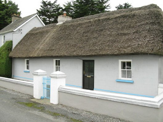 farm house, housefarm house, house · 172 yd
 Sunday WellSpring · 173 yd
 Ballynoe Castle (in ruins)Castle, tower house · 1.7 mi
 European ashEuropean ash · 2.7 mi
 CastleCastle, tower house · 2.8 mi
 Famine stoneMemorial · 4.3 mi
 KnockfeerinaMountain / peak · 4.9 mi
 Flat cemetery in Kiltenan SouthFlat cemetery · 6.0 mi
Other information
Photo: Credit not shown in the picture search · Rights wording not checked; contact us if this picture should be removed