What is recorded here
According to the Civil Survey (1654-6) Edward Masterson and a FitzRobert owned land amounting to 600 acres in Upper Ferns, Crory, and the unkown Monedurloge, Aghnemoe (Askinamoe?), Bolinerdroome and Kavanasland (Castleland?) in Ferns parish (Simington 1953, 266). The property contained a Castle (WX015-003001-), a church and abbey (WX015-003004-), a mill in repair, a ruined mill, two bridges on the River Bann, and two weirs. Doran's bridge is a four-arch, hump-back bridge with arches of equal width, dressed voussoirs and cut-wawter piers. It was extant in 1839 (OS map) and is probably 18th century in date. See this web-page accessed on 9, May, 2014 http://www.buildingsofireland.ie/
Compiled by: Michael Moore
Date of upload: 2 May, 2012
Amended: 9, May, 2014
The monument record does not grant public access. Check the route and ask the landowner before entering private land.
- What survives
- Recorded monument
Places near here
 Doran's Bridgebridge · 1 yd
 Enclosure in Ferns LowerEnclosure · 799 yd
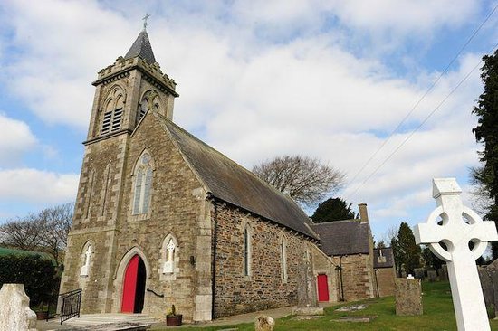 IndicatedFairy fort / ringfort · 812 yd
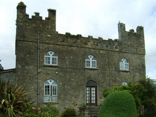 Killoggy Castlefarm house · 1141 yd
 Ferns Castle (in ruins)Castle, Anglo-Norman masonry castle · 1563 yd
 CastleCastle, unclassified · 1.1 mi
 Coolroe WoodForest · 1.8 mi
 Coolpuck WoodForest · 2.0 mi
 Giants BedNamed rock · 3.9 mi
 Father Murphy CentreHeritage attraction · 4.0 mi
 Milshoge RockMountain / peak · 4.1 mi
 Carrigroe HillMountain / peak · 4.5 mi