
What is recorded here
Doonthomas is a vanishing coastal fort on a narrow rock spine southwest of Cape Clear, where Westropp still saw a stone wall and circular hut before the sea erased them. The Atlantic now strips the last traces from the neck of the promontory, turning human ingenuity back into drift, foam and pressure. What remained was a ridge sharp enough to cut memory as much as flesh, a place where defense itself became temporary.
Headland projecting SW from Cape Clear. Westropp (1915, 253) noted remains of fosse with stone wall on seaward side at neck of promontory. He also noted remains of circular hut site (CO153-014001-) in interior. The promontory is now a long, narrow spine of rock, with no soil cover; eroding rapidly by sea. No visible trace of wall or fosse.
The above description is derived from the published 'Archaeological Inventory of County Cork. Volume 1: West Cork' (Dublin: Stationery Office, 1992). In certain instances the entries have been revised and updated in the light of recent research.
Date of upload/revision: 14 January 2009
This remains an important historical record, but the official description says the monument is no longer visible or has been destroyed. The monument record does not grant public access. Check the route and ask the landowner before entering private land.
- What survives
- No visible remains or recorded as destroyed
Places near here
 Promontory fortPromontory fort, coastal · 178 yd
 Field boundary in Baile Iarthach Theas (cléire)Field boundary · 205 yd
 Cape ClearHeadland · 855 yd
 farm housefarm house · 996 yd
 O'Driscoll CastleCastle · 1626 yd
 Doonanore Castle (in Ruins)Castle, tower house · 1632 yd
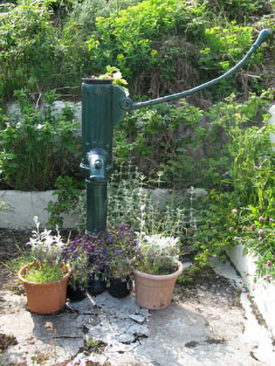 water pumpwater pump · 1.0 mi
 Oifig Fáilte Siopa CeirdVisitor information · 1.2 mi
 Wild Atlantic Way: CléireVisitor information · 1.2 mi
 Trá CiaráinBeach / strand · 1.2 mi
 An Gleann LoopWalking route · 1.2 mi
 CléireIsland · 1.4 mi
Other information
Photo: Credit not shown in the picture search · Rights wording not checked; contact us if this picture should be removed