
What is recorded here
Doon/An Dún: This fort, which Westropp referred to as Duncanuig (1912, 312-15), is located on a cliff promontory which projects SW into St Finan's Bay. It is defended by a number of banks and fosses which occur about midway along the length of the promontory. Westropp recorded that the innermost of these banks…
Read the whole record
From the National Monuments Service (Archaeological Survey of Ireland) record KE096-005
Places near here
Photo credits
- Maker not stated on source page, www.cntraveller.com
- Maker not stated on source page, commons.wikimedia.org
- Maker not stated on source page, imgur.com
- Maker not stated on source page, www.pinterest.com
- National Inventory of Architectural Heritage
- Maker not stated on source page, www.tripadvisor.com.au
- Maker not stated on source page, www.ireland.com
- Marco Ober, Wikimedia Commons · CC BY-SA 4.0
- Espresso Addict, Geograph · CC BY-SA 2.0
 Trá Bá FhionáinBeach / strand · 903 yd
Explorer Tom Trá Bá Fhionáin keeps getting picked on by the wind because it stands too tall in County Kerry. The breeze thinks it…
 Fairy fort / earthen ringfort in Clochán CeannúighFairy fort / earthen ringfort · 915 yd
Explorer Tom Fairy fort / earthen ringfort in Clochán Ceannúigh is locked in a feud with the next village over who invented the…
 Mapped graveyardGraveyard · 1281 yd
Explorer Tom According to me, this mapped graveyard in County Kerry smells like old rain, wet wool, and something slightly…
 Ogham stone in Ráth CiaráinOgham stone · 1285 yd
Explorer Tom Ogham stone in Ráth Ciaráin would tell the place that replaced it to go away and stop hogging all the glory from St…
 Killemlagh Church (in Ruins)Church · 1295 yd
Explorer Tom Killemlagh Church is sitting right above Keel Strand, basically showing off its view of the Skelligs while acting all…
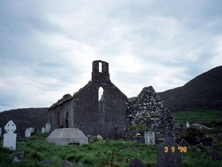 Séipéal na Cille [Killemlagh Catholic Chapel]Church/chapel · 1298 yd
Explorer Tom Séipéal na Cille is playing possum without its roof, looking like it’s mid-sentence. It’d tell its younger self to stop…
 Killemlagh Parish Church and Ruin of St. Fionáns MonasteryRuins · 1299 yd
Explorer Tom Killemlagh Church would teach history by pointing at a wall and saying 'that happened', then refusing to elaborate…
 Fairy fort / earthen ringfort in Ráth CiaráinFairy fort / earthen ringfort · 1411 yd
Explorer Tom Ráth Ciaráin has been stuck in a terrible argument with a modern field wall about who gets to close the circle…
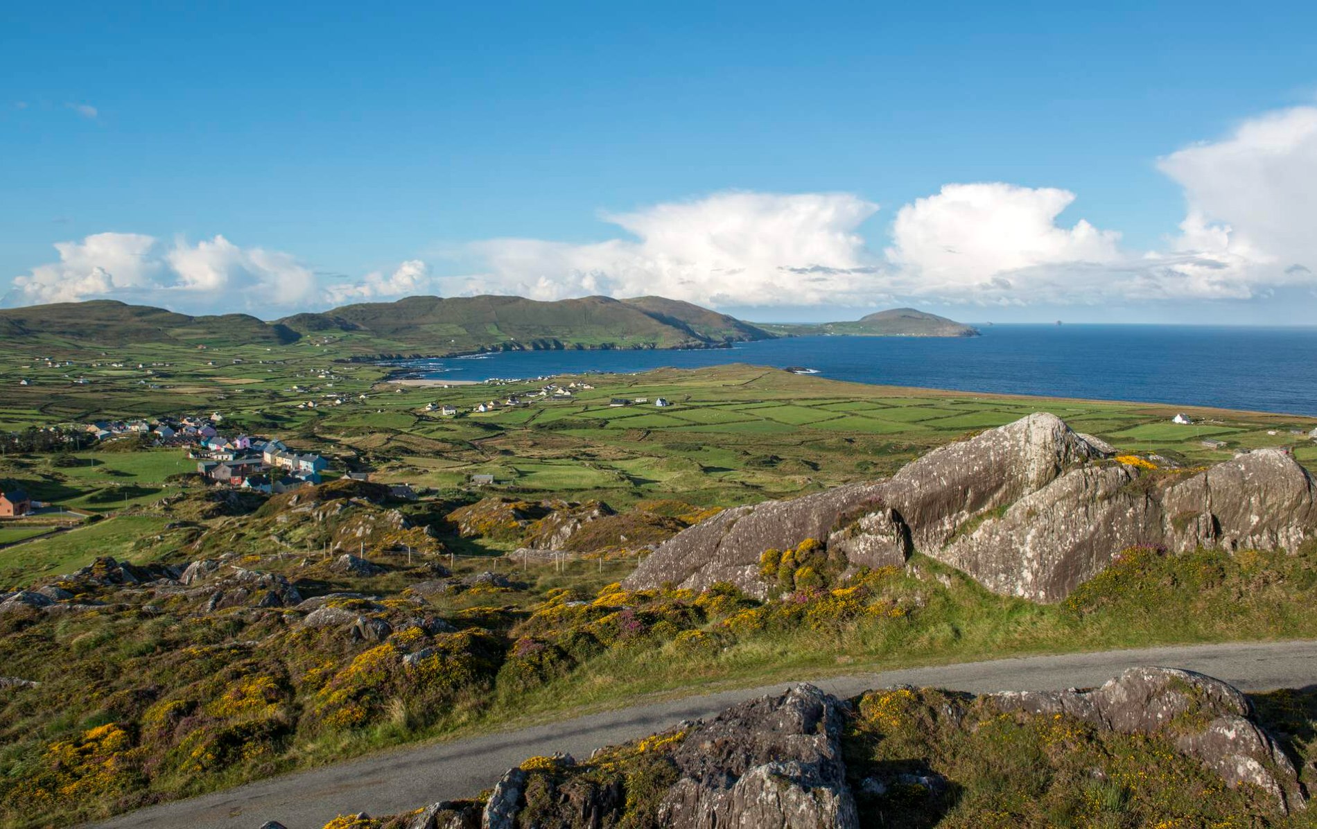 Oileán Chuas a' BháidIslet · 2.3 mi
Explorer Tom Oileán Chuas a' Bháid has been hiding a scandal involving a smuggler who lost his hat in the tide in 1842 and never got…
 Kerry CliffsHeritage attraction · 2.3 mi
Explorer Tom The Kerry Cliffs near Portmagee have a serious grudge against the weather for keeping them looking so perpetually wet…
 Bulligacrowig RockIslet · 2.8 mi
Explorer Tom Bulligacrowig Rock has a hidden message carved into its stones that says 'I’m still here', which I think is honestly…
 Bray HeadMountain / peak · 4.5 mi
Explorer Tom Bray Head in County Kerry is boasting about surviving a storm that wasn't even particularly wet, just damp and rude.…
More archaeology and monuments in County Kerry · All of County Kerry

What do you know about this place?Tap to add a comment or ask a question