What is recorded here
Donaghmoyne Rising marks a cave entrance at Donaghmoyne in County Monaghan, where underground water surfaces instead of sinking. The name suggests a hidden river returning to daylight, perhaps after traveling beneath farmland and ancient soil. People may have watched that water appear and disappear with rain, reading the landscape as a living thing rather than a dead stone.
The Irish Caves Database records Donaghmoyne Rising at Donaghmoyne in County Monaghan. This point comes from its public cave register. A cave map point does not by itself grant access: check local conditions and ask the landowner where needed.
The cave register does not grant public access. Check conditions and ask the landowner before entering private land.
Places near here
 Donaghmoyne Housegate lodge · 394 yd
 Mannan Castle (in ruins)Castle, Anglo-Norman masonry castle · 404 yd
 Enclosure in DonaghmoyneEnclosure · 489 yd
 IndicatedFairy fort / earthen ringfort · 619 yd
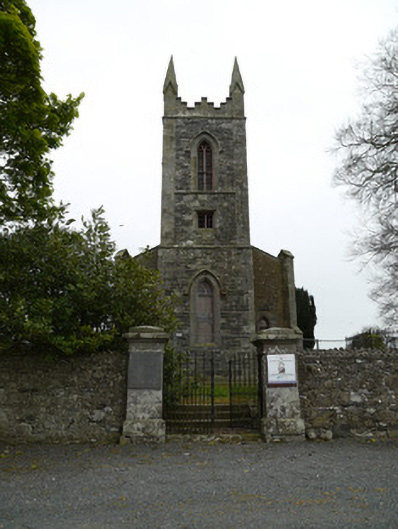 Saint Patrick's Church (Donaghmoyne)church/chapel · 647 yd
 TobernagalliaghSpring · 1.6 mi
 Horse-chestnutHorse-chestnut · 2.3 mi
 European BeechEuropean Beech · 3.1 mi
 KnockreaghMountain / peak · 4.0 mi
 Fincarn HillMountain / peak · 4.8 mi
 Gully IslandIslet · 5.1 mi
 Rock IslandIslet · 5.4 mi