What is recorded here
The largest chamber-cairn in County Cork once stood above Ballymacadam, but men took its stones for walls and roads. Nothing remains now except a hollow in the grass and a border of broken rock. The chamber may have measured ten metres across, large enough to swallow a village ritual whole. Men forgot the chamber because they were busy building their own small lives around it.
Not shown on 1842 and 1904 OS 6-inch maps. In tillage, on W-facing slope. Subrectangular stone (H 2.7m; 1.9m x 0.35m) leaning heavily to W.(deValera and O Nualláin, 1982, 45)
The above description is derived from the published 'Archaeological Inventory of County Cork. Volume 3: Mid Cork' (Dublin: Stationery Office, 1997). In certain instances the entries have been revised and updated in the light of recent research.
Date of upload/revision: 14 January 2009
The monument record does not grant public access. Check the route and ask the landowner before entering private land.
- What survives
- Recorded monument
Places near here
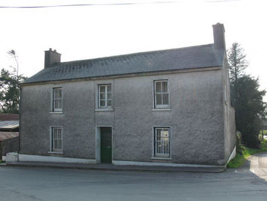 garda station/constabulary barracksgarda station/constabulary barracks · 132 yd
 IndicatedChurch · 175 yd
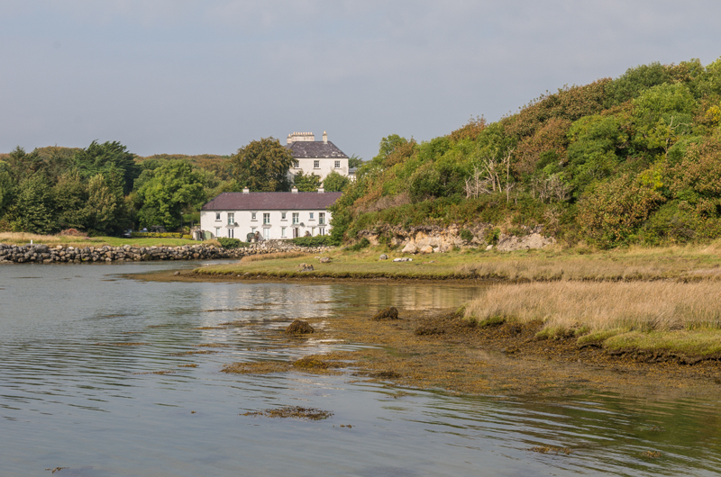 Enclosure in Rusheen (muskerry East By.)Enclosure · 560 yd
 CairnCairn, radial-stone cairn · 670 yd
 Black WoodWood · 698 yd
 BurrenMountain / peak · 1.9 mi
 Ummera WoodWood · 2.0 mi
 Clonavrick CliffCliff · 2.4 mi
 Mullinhassig WaterfallWaterfall · 2.8 mi
 Carrigadrohid Castle InfoVisitor information · 2.9 mi
 Carrigadrohid CastleHeritage attraction · 3.0 mi
 Carrigadrohid Castle (in Ruins)Castle, tower house · 3.0 mi