What is recorded here
On the crest of a low hill in grassland. Marked 'Dolmen' on 3rd ed. of OS 6-inch map (1934) and indicated by a small oval enclosure (NW-SE c. 10m, NE-SW c. 5m). According to de Valera and Ó Nualláin (1972, 28), the monument consisted of 'Three stones incorporated in a mound'. All three stones survive; the two larger, which are aligned E-W, are displaced and form a wedge-shaped chamber opening to E, while the smaller third stone, still in situ, is set between them at E. Of the mound noted (ibid.), no visible surface trace survives. Insufficient evidence remains to classify the monument as a megalithic tomb.
The above description is derived from the published 'Archaeological Inventory of County Galway Vol. II - North Galway'. Compiled by Olive Alcock, Kathy de hÓra and Paul Gosling (Dublin: Stationery Office, 1999).
Date of upload: 05 August 2010
The monument record does not grant public access. Check the route and ask the landowner before entering private land.
- What survives
- Recorded monument
Places near here
 IndicatedKiln, lime · 324 yd
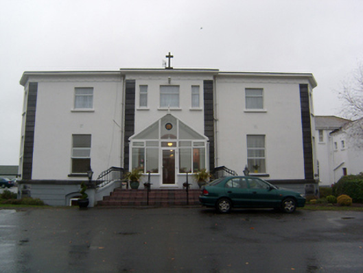 Cuan Mhuirehouse · 890 yd
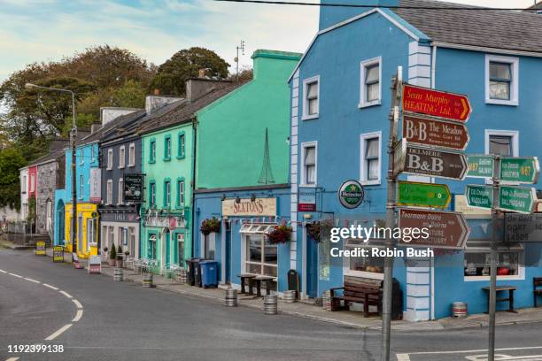 Cashlaunnagrantha in ruinsCastle, tower house · 1059 yd
 Enclosure in CarheenleaEnclosure · 1399 yd
 Grave YardGraveyard · 1.8 mi
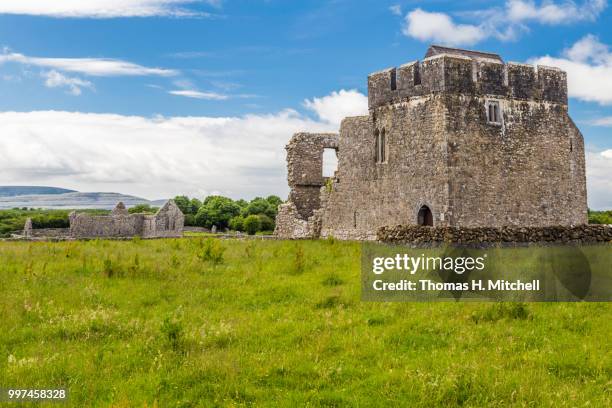 Kilskeagh castleCastle · 1.8 mi
 European BeechEuropean Beech · 2.5 mi
 The HazelWood · 2.6 mi
 First Battle of Athenrybattle · 5.2 mi
 Athenry CastleHeritage attraction · 5.8 mi
 Athenry AbbeyHeritage attraction · 5.9 mi
 Ballinduff BayBay · 9.6 mi