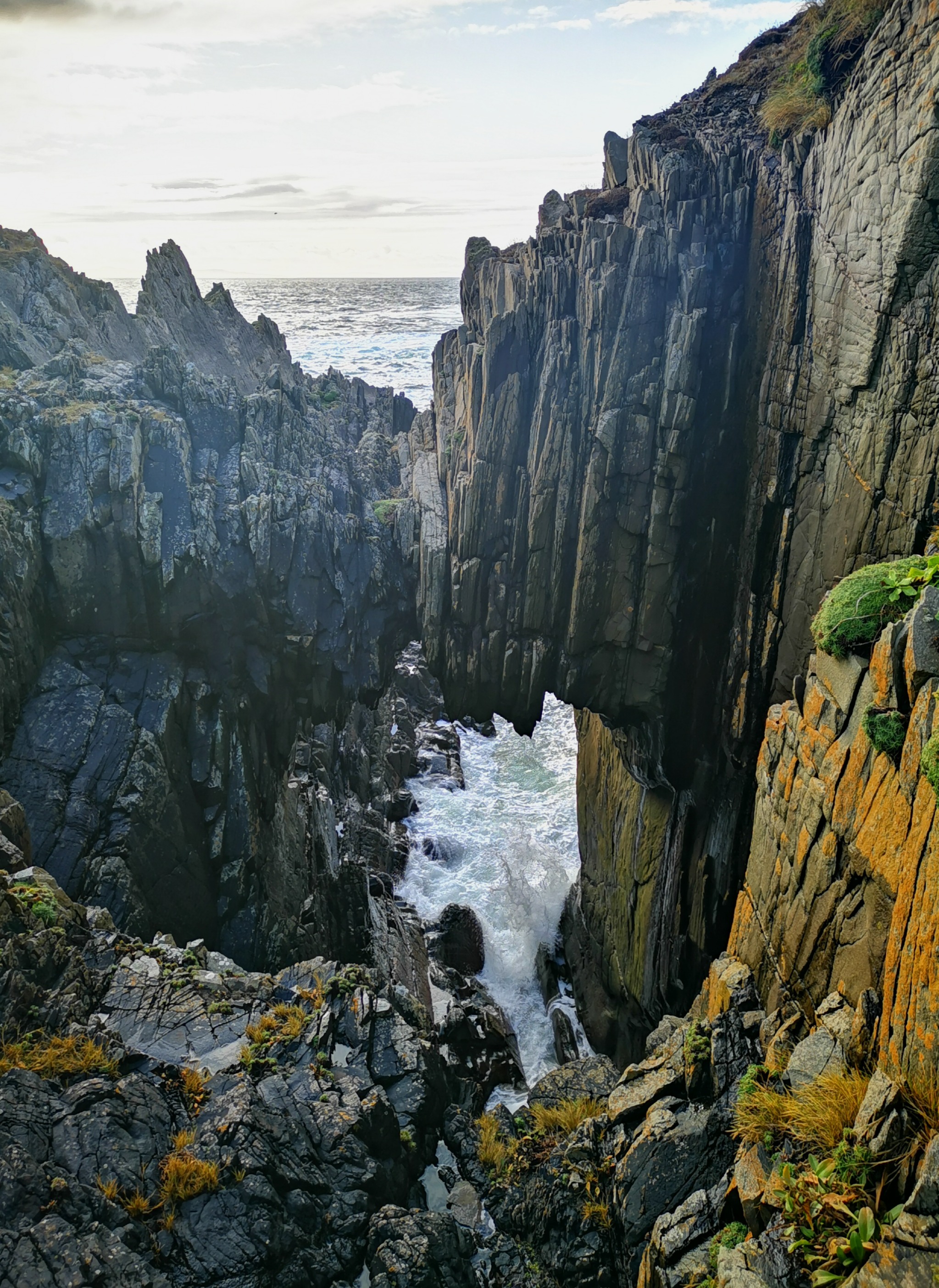
What is recorded here
A natural rock arch west of Hell's Hole. It appears in old Malin Head place lists and photographs, and the saved dot comes from the one hundred metre Irish map reference printed by the local climbing guide.
The rock arch is in exposed cliff country. Some routes beyond the public Malin Head path cross private ground. Follow current signs, do not cross a closed boundary and keep back from cliff edges.
Places near here
 SkildrenbegIslet · 176 yd
 SkildrenmoreIslet · 190 yd
 Malin HeadHeadland · 437 yd
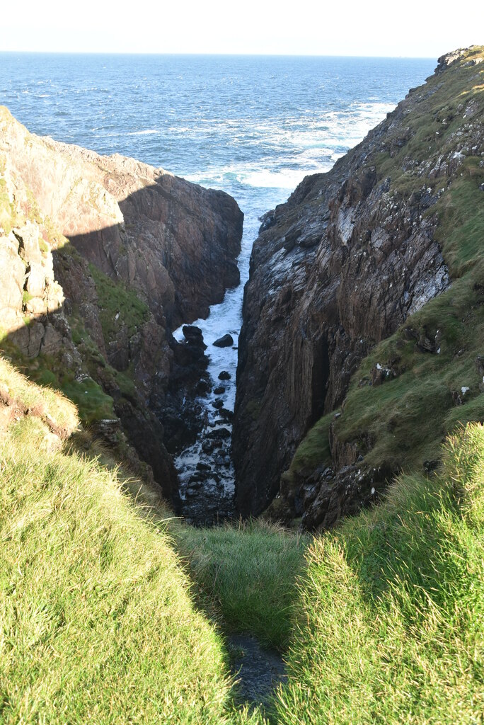 Hell's Hole Cavern, Malin HeadSea cavern and cliff chasm · 553 yd
 Malin Head Watchman's Hutwatch tower · 1510 yd
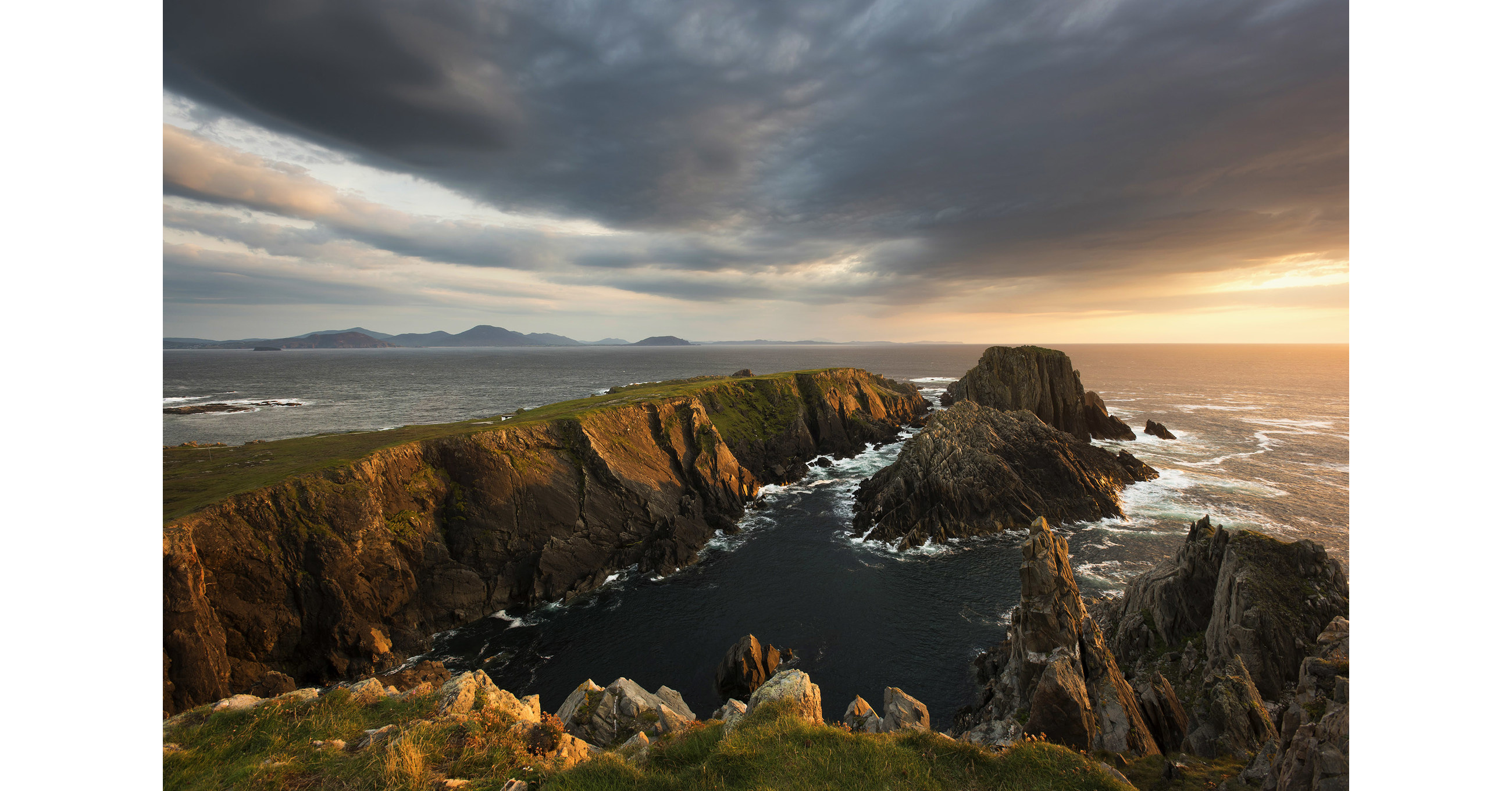 Star Wars: The Last Jedi filming sitebuilding · 1514 yd
 Wild Atlantic Way:Malin HeadVisitor information · 1541 yd
 Malin TowerSignal tower · 1550 yd
 EIRE 80 signSecond World War neutrality sign · 1719 yd
 Pebble StrandBeach / strand · 1.3 mi
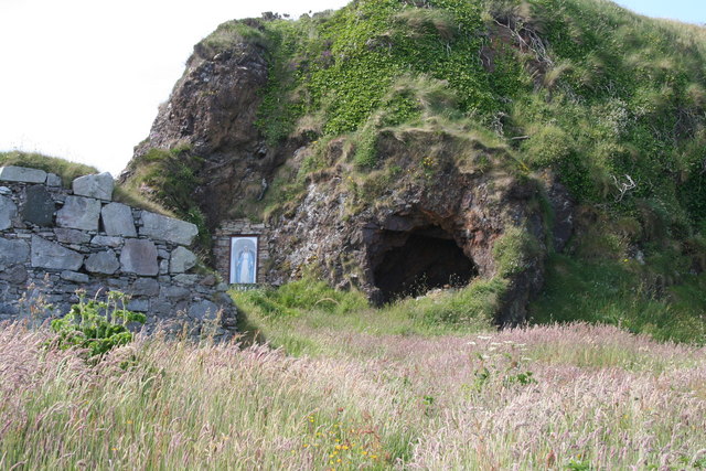 Wee House of Malin CaveCave · 3.1 mi
 The Doon at Malin WellPromontory fort, coastal · 3.1 mi
Other information
Photo: Rickie Doherty · Photographer-owned picture used with permission