What is recorded here
Situated on a fairly level landscape and c. 500m N of Woodtown House. This feature is depicted as a small circular copse (diam. c.30m) only on the 1836 edition of the OS map but it was recorded in 1955 (SMR file) as a circular platform (diam. 30m) with some tree-stumps defined by a fosse (Wth of top 2.5m; int. D. c. 0.9m; ext. D c. 0.2m). It was probably a tree-ring but its visible profile had been removed by 2005 (OSAP).
Compiled by: Michael Moore
Date of upload: 28 February 2019
The monument record does not grant public access. Check the route and ask the landowner before entering private land.
- What survives
- Recorded monument
Places near here
 Concentric enclosure in Ballyboy (lune By., Athboy Par.)Concentric enclosure · 1611 yd
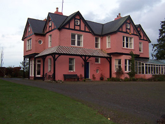 Lisclogher Househouse · 1.1 mi
 Lisclogher Bridgebridge · 1.1 mi
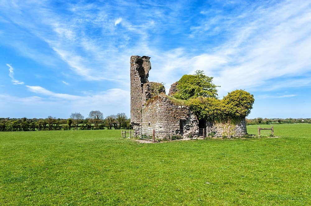 CastleCastle, tower house · 1.5 mi
 Dotted outlineFairy fort / ringfort · 1.7 mi
 MoatCastle, motte and bailey · 1.9 mi
 FraineMountain / peak · 2.2 mi
 ScregganWood · 3.4 mi
 Persian WalnutPersian Walnut · 3.7 mi
 The New Line RoadMemorial · 9.7 mi
 BohermeenMountain / peak · 9.8 mi
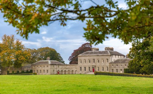 Ballynadrimna HouseRuins · 1.1 mi