What is recorded here
Situated on flat grassland in an area of wet marshy land in parkland on Carrickglass Demesne. Depicted as a sub-rectangular area defined by trees on the 1837 ed. of the OS 6-inch map, it is not depicted on the latest edition. Present remains consist of a circular area (int. diam. 38m NW-SE, 29m SW-NE) enclosed by a low earthen bank (Wth 2m, int. H 0.2m, ext. H 0.4m) and external fosse (Wth 1.4m, ext. D 0.3m) with no entrance feature visible. Its location on parkland in Carrickglass Demesne and its representation on the 1837 ed. of the OS 6-inch map would suggest that this earthwork is a designed landscape feature associated with Carrickglass House.
Compiled by: Caimin O'Brien
Date of upload: 26 August 2011
The monument record does not grant public access. Check the route and ask the landowner before entering private land.
- What survives
- Recorded monument
Places near here
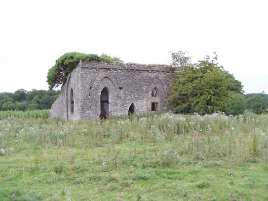 Carrigglas Manorsummerhouse, folly · 330 yd
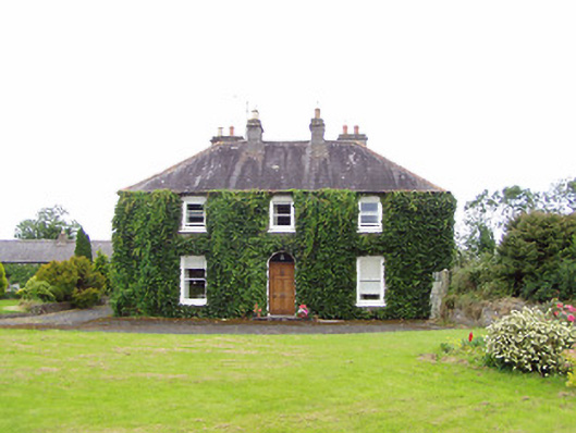 Williamstown Househouse · 1014 yd
 Enclosure in CorradooeyEnclosure · 1454 yd
 Enclosure in Cooleeny,whiterockEnclosure · 1.1 mi
 CastleCastle, Anglo-Norman masonry castle · 2.0 mi
 Bawn in LissardowlanBawn · 2.0 mi
 Saint Mel's CathedralCathedral · 2.4 mi
 First World War MemorialMemorial · 2.5 mi
 Lebanon CedarLebanon Cedar · 4.9 mi
 Graveyard in Curry (ardagh By., Coolamber Ed)Graveyard · 4.9 mi
 Granard MotteMotte-and-bailey castle remains · 10 mi
 1798 Monumentmonument · 10 mi