What is recorded here
A rectangular enclosure in flat Galway pastureland mimics a moated site with earthen banks, a central fosse, and causewayed gaps. Built between 1839 and 1892, it contains the isolated remains of a tower house and bawn wall. The deliberate deception suggests a wealthy landowner wanted pasture to pretend history, forcing visitors to question whether memory or marble matters more.
In flat pastureland. This rectangular enclosure (c. 27m NE-SW; c. 21m NW-SE) is defined by two slight earthen banks with an intervening fosse. Trees are growing along the S and W sides of the inner bank (Wth 2.-2.5m; int. H 0.3m; ext. H 1-1.2m). Its outer face is vertical and faced with a revetment of drystone walling (H 0.8m). The revetment is well built and almost completely intact. A post and wire fence crosses the W tip of the outer bank (Wth 2.5-3.5m; H 0.3m). There are causewayed gaps across the fosse midway along its NE (Wth 3m) and SW (Wth 3-3.5m) sides, the later appears to be a later addition (SMR file). Based on the cartographic evidence, Cody (1989, 352-3) believes that the enclosure was built sometime between 1839 and 1892 as it is shown on the OS 25-inch plan of 1892 and 1927-8 but not on the original OS 6-inch map or its Fair Plan. The remains of a tower house (GA084-050001-) and a section of its associated bawn wall (GA084-050003-) stand isolated in the W half of the interior. The enclosure is possibly a folly and may have been meant to represent a moated site.
Compiled by: Olive Alcock
Date of upload: 7 September 2021
The monument record does not grant public access. Check the route and ask the landowner before entering private land.
- What survives
- Recorded monument
Places near here
 Castle (in ruins)Castle, tower house · 1 yd
 Country house in Castle EllenCountry house · 163 yd
 Enclosure in Castle EllenEnclosure · 256 yd
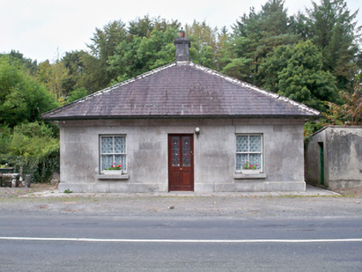 Castle Ellen Housegate lodge · 542 yd
 Belleville CastleCastle · 1659 yd
 Field system in Carnaun (athenry By.)Field system · 1714 yd
 First Battle of Athenrybattle · 1.9 mi
 The HazelWood · 2.0 mi
 Horse-chestnutHorse-chestnut · 2.4 mi
 Athenry CastleHeritage attraction · 2.7 mi
 Athenry AbbeyHeritage attraction · 2.8 mi
 Leadmine HillMountain / peak · 11 mi