What is recorded here
In gently undulating pastureland; formerly demesne land. Marked on the 1838 edition of the OS 6-inch map as a possible tree clump and as a pit on the 1932 edition. Apart from a slight dip (diam. c. 20m) in the ground surface, no visible surface trace survives. Possibly a landscape feature associated with the demesne.
Compiled by: Olive Alcock
Date of upload: 2 August 2016
The monument record does not grant public access. Check the route and ask the landowner before entering private land.
- What survives
- Recorded monument
Places near here
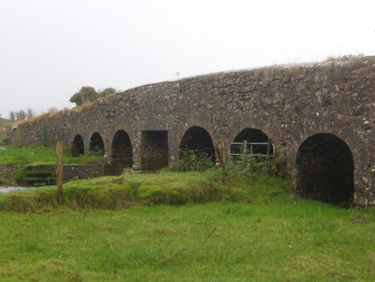 Abbert Bridgebridge · 1408 yd
 IndicatedEnclosure · 1485 yd
 AbbertCountry house · 1.5 mi
 St. Kevins Well (Site of)Holy well · 1.5 mi
 CastleCastle, unclassified · 1.9 mi
 Clooncurreen CastleCastle · 2.2 mi
 Menlough IRAMemorial · 3.5 mi
 HawthornHawthorn · 3.5 mi
 Knockmoy AbbeyHeritage attraction · 3.8 mi
 SycamoreSycamore · 4.0 mi
 Mass RockNamed rock · 13 mi
 Church (in Ruins)Church · 1.6 mi