What is recorded here
On a SSE-facing slope, immediately to the NW of an early 19th-century house. Not marked on the 1837 ed. of the of the OS 6-inch map. A raised circular platform (dims. 23m) defined by a scarp (H 0.8m). From the SW-N-NE the perimeter has been modified and incorporated into the field boundary. This may be the remains of landscape feature associated with the house noted above.
Compiled by: Patrick F. O'Donovan
Date of upload: 26 August 2011
The monument record does not grant public access. Check the route and ask the landowner before entering private land.
- What survives
- Recorded monument
Places near here
 Enclosure in DrummanEnclosure · 1123 yd
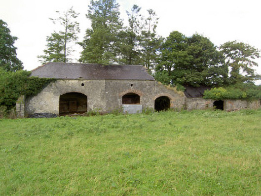 Mossvaleoutbuilding · 1384 yd
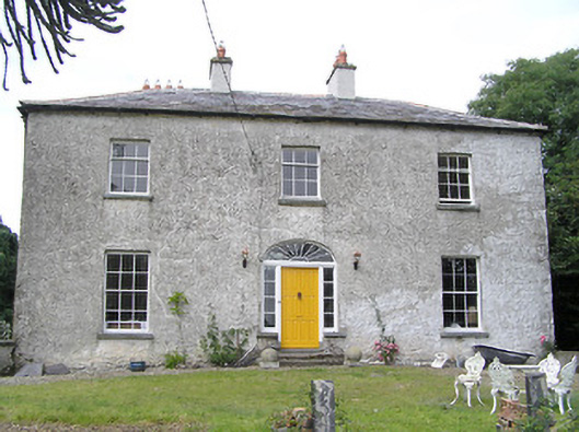 Moorhill Househouse · 1462 yd
 Site of Castle NugentCastle, unclassified · 1.0 mi
 IndicatedFairy fort / earthen ringfort · 1.1 mi
 CastleCastle, unclassified · 1.2 mi
 Granard MotteMotte-and-bailey castle remains · 2.5 mi
 1798 Monumentmonument · 2.5 mi
 Clonfin Ambush MemorialMemorial · 2.6 mi
 Cloonfin WoodForest · 3.6 mi
 Edgeworthstown BypassMemorial · 4.9 mi
 CartronfreeMountain / peak · 5.6 mi