What is recorded here
Mistake and memory collide at Portlecka, where a false fort hid a garden room. Coffey called it a fort in 1987, but measurement in 1999 showed a sunken rectangle no wider than twenty-one metres, caught between Port House and the dead kitchen gateway. The enclosure label in the 1996 survey still repeats the earlier error. What looks like a defensive marker may have been a designed depression, made for water, shadow or the movement of people through a private landscape.
Listed as ‘Enclosure’ in the RMP (1996). Published as a ‘fort’ in a note (Coffey 1987, 49) and described as lying between Port House and the gateway to the disused kitchen garden. On inspection in 1999 this was found to be a sunken rectangular area (max. 22.7m N-S; 21m E-W) and is most likely related to the gardens of Port House.
Compiled by: Mary Tunney
Date of upload: 20 October 2014
The monument record does not grant public access. Check the route and ask the landowner before entering private land.
- What survives
- Recorded monument
Places near here
 Portlecka Castle (in Ruins)Castle, tower house · 110 yd
 Enclosure in BallyharraghanEnclosure · 559 yd
 Enclosure in Ross (inchiquin By.)Enclosure · 586 yd
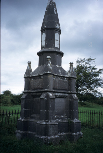 Kelly Mausoleummausoleum · 709 yd
 Church (in ruins)Church · 1019 yd
 Dromore WoodWood · 1366 yd
 Dromore CastleCastle · 1632 yd
 Ballygriffy WoodWood · 1.3 mi
 Battle of TullyodeaBattlefield · 1.5 mi
 Mulkere MemorialMemorial · 3.8 mi
 Rock IslandIsland · 4.6 mi
 Inchiquin IslandIslet · 4.7 mi