What is recorded here
On a rise in undulating grassland. Marked on the 1838 edition of the OS 6-inch map as an unenclosed coniferous tree plantation. On the 1947 revision a roughly circular pit (c. 33m N-S; c. 25m E-W) clipped by a NE-SW running field boundary from NE to SSE is depicted and the trees have cleared. Slight traces of its outline were visible on inspection in September 1983. The evidence is insufficient to warrant accepting this as an archaeological monument; possibly a landscape feature.
Compiled by: Olive Alcock
Date of upload: 8 March 2019
The monument record does not grant public access. Check the route and ask the landowner before entering private land.
- What survives
- Recorded monument
Places near here
 Quarry in Ballyglass (ballyglass Ed)Quarry · 811 yd
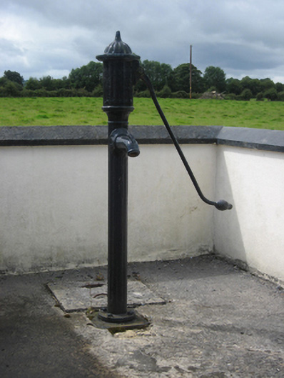 water pumpwater pump · 825 yd
 IndicatedFairy fort / earthen ringfort · 1.1 mi
 Enclosure in SawnaghEnclosure · 1.6 mi
 Site of CastleCastle, unclassified · 1.7 mi
 Pallas CastleCastle, tower house · 1.9 mi
 Oak WoodForest · 2.0 mi
 Bog WoodForest · 2.1 mi
 Church HillMountain / peak · 2.2 mi
 Stonyisland BayBay · 2.6 mi
 Friar's IslandIslet · 2.9 mi
 Abbey IslandIslet · 3.1 mi