What is recorded here
Yes. T. McDonald identified a substantial ringfort near Carrowkeel House during the 1987 Clonmacnoise survey, yet earth dumping and tree planting have disguised its shape. The glebe now wears a manufactured skin, hiding the ancient bank beneath soil and leaves.
Tree-ring assoicated with the nearby house marked on the six inch map as Carrowkeel House. Natural hill which has been landscaped with the planting of trees around its edge. Recent dumping of earth around its periphery gives a bank like appearance. Field fence at SW. No surface evidence of any Man-made underground passage. Potential ringfort identified by T. McDonald as part of an archaeological survey of the Clonmacnoise region in 1987 (McDonald 1987, 9). Described by McDonald as 'substantial ringfort c. 200 yds. from Carrowkeel House. Traces of an attached Man-made underground passage on south side. Ring-fort enclosed by an earthen bank' (McDonald 1987, 9).
The above description is derived from the published 'Archaeological Inventory of County Offaly' (Dublin: Stationery Office, 1997). In certain instances the entries have been revised and updated in the light of recent research.
Date of upload: 23 May 2011
The monument record does not grant public access. Check the route and ask the landowner before entering private land.
- What survives
- Recorded monument
Places near here
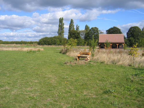 Burial ground in Glebe (garrycastle By., Clonmacnoise Ed)Burial ground · 168 yd
 Caltragh Burying GroundBurial ground · 340 yd
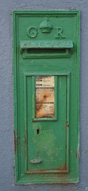 post boxpost box · 808 yd
 RoadRoad, gravel/stone trackway, peatland · 1.8 mi
 Clonlyon CastleCastle, tower house · 2.4 mi
 Graveyard in ClonmacnoiseGraveyard · 2.6 mi
 ClonmacnoiseMuseum · 2.6 mi
 Castle or Bishops PalaceCastle, Anglo-Norman masonry castle · 2.7 mi
 HawthornHawthorn · 2.8 mi
 Endrim HillMountain / peak · 3.2 mi
 Long IslandIsland · 4.1 mi
 Devenish IslandIsland · 4.3 mi